
Lamma Island is well-known for its relatively easy Family Walk; from Yung Shue Wan (the main pier) to Sok Kwu Wan (the ferry pier on the south side). If you’re wanting to head to the island, but are looking for something a bit more challenging, head to the south side of the island. This Lamma Island hike takes you from the Sok Kwu Wan ferry pier, east to Mo Tat Village, south-west along Shek Pai Wan Beach and then back up to the pier. Along this hike, you’ll pass through a few villages, see beautiful views of the south side of Hong Kong Island, and have the opportunity to end your hike at the beach or with a seafood feast along the water.
Starting point of the Lamma Island hike
Head to the Central Ferry Pier and take the Lamma ferry to Sok Kwu Wan (check the schedule ahead of time, as this ferry isn’t as frequent). The journey is around 40 minutes.
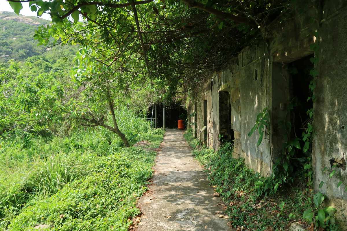
Sok Kwu Wan to Mo Tat Old Village
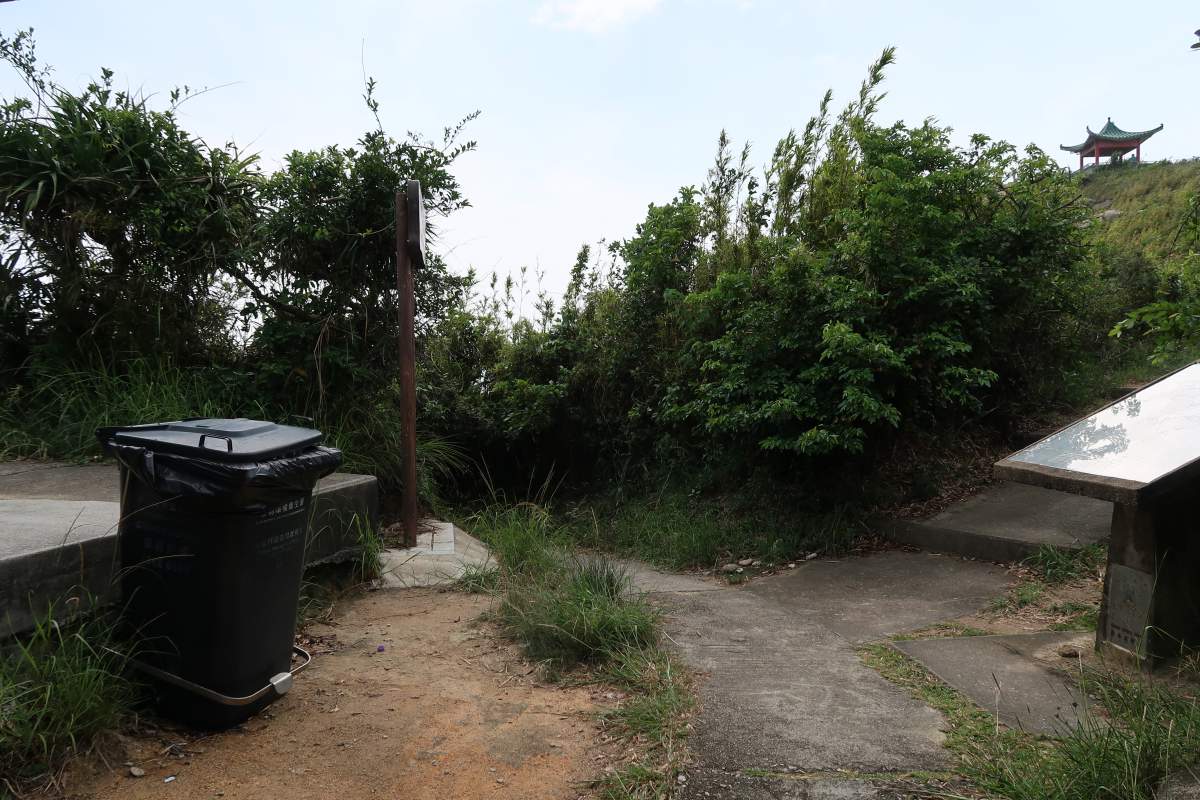
After you’ve passed the restaurants, with the temple on your far left. Head straight and up the stairs on your left.
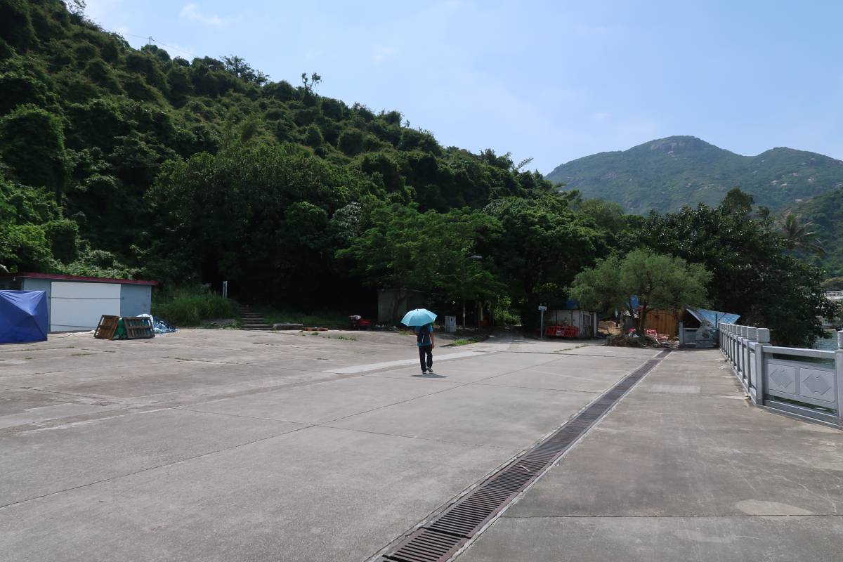
Once off the ferry, head right, along the walkway of a dozen or so seafood restaurants until you come out into an open space with a small temple on your left. You’ll see a slightly hidden set of stairs going up into the trees in front of you and to your left (just to the right of the small shed in the photo above).
First fork in the path. Turn right for a quick photo op first, then head left.
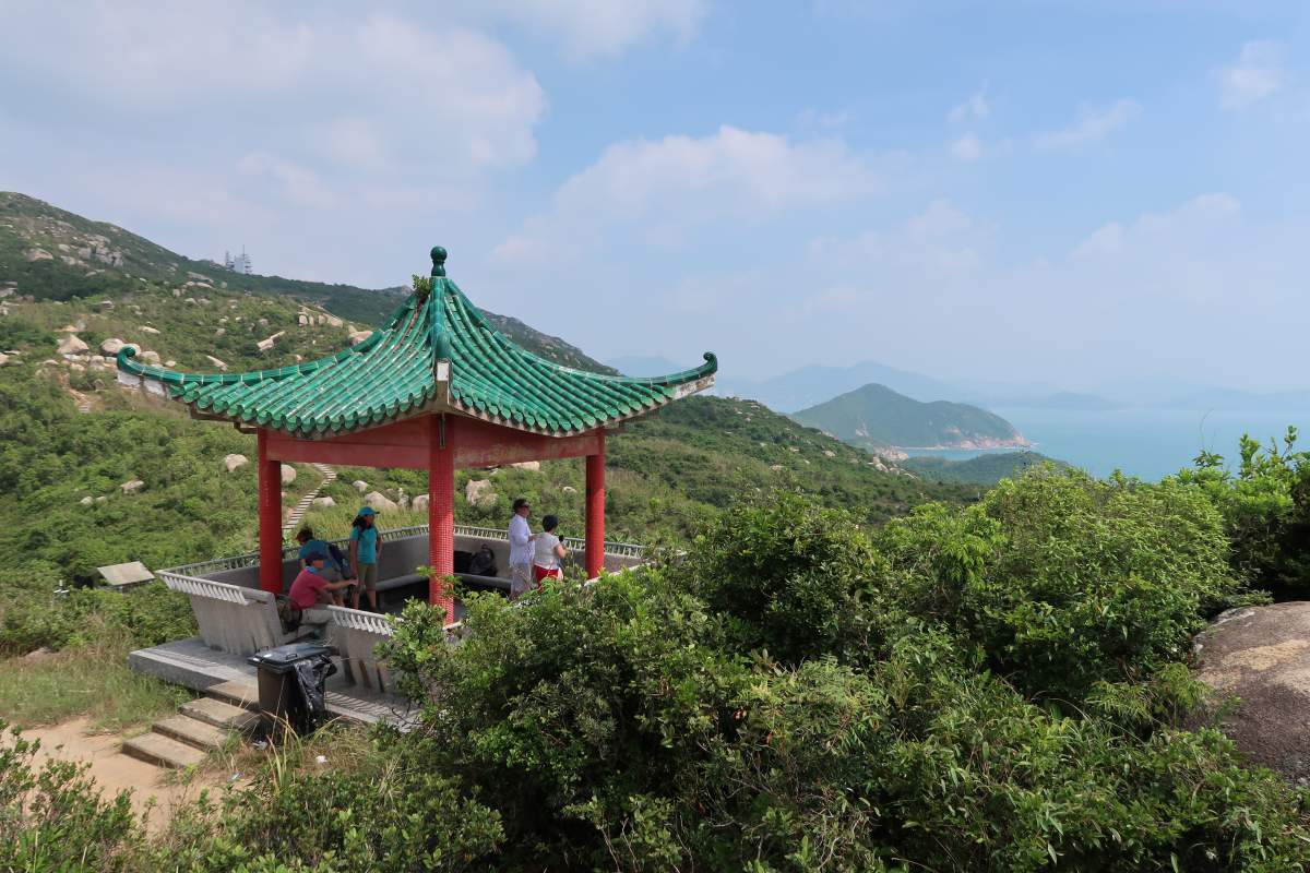
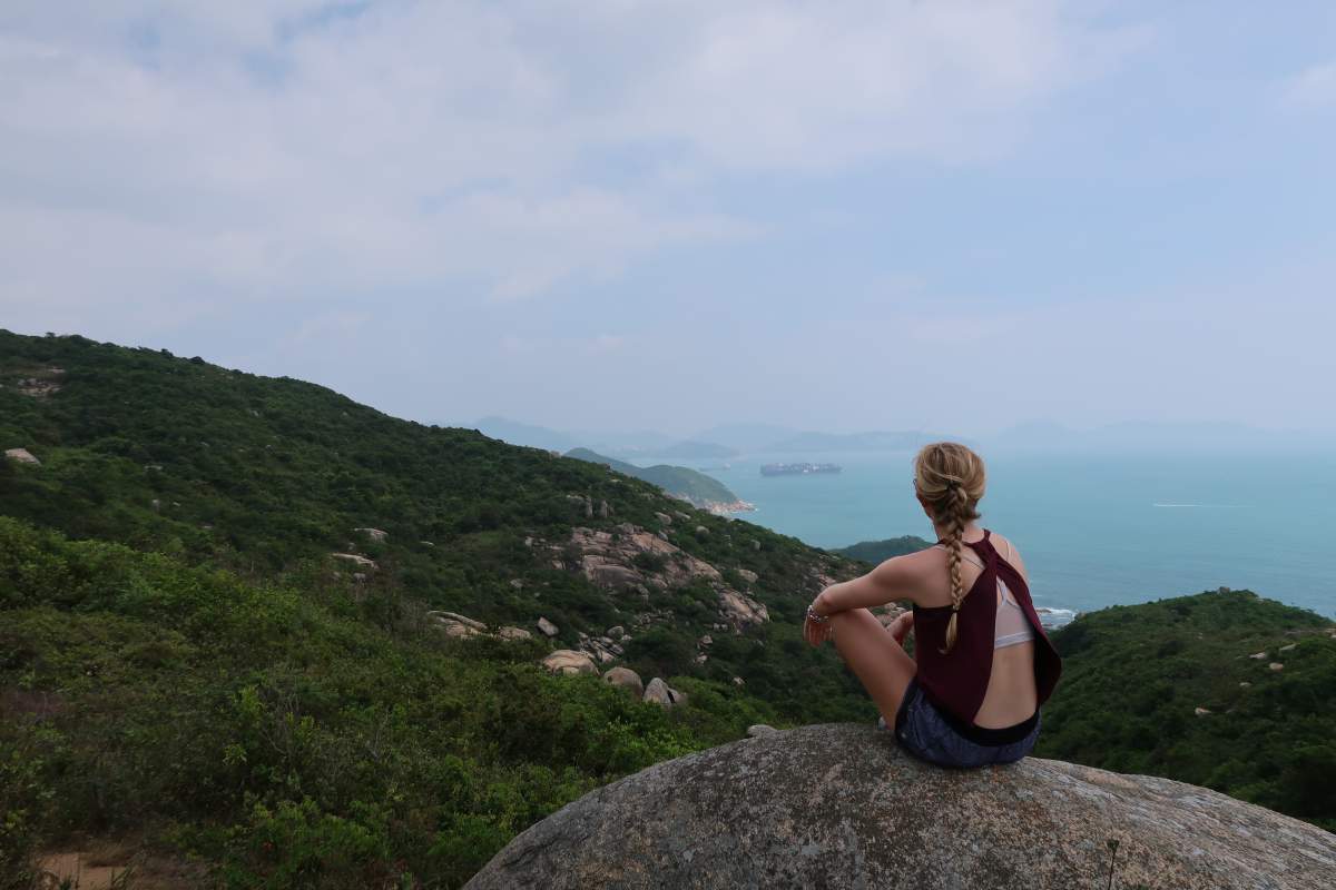
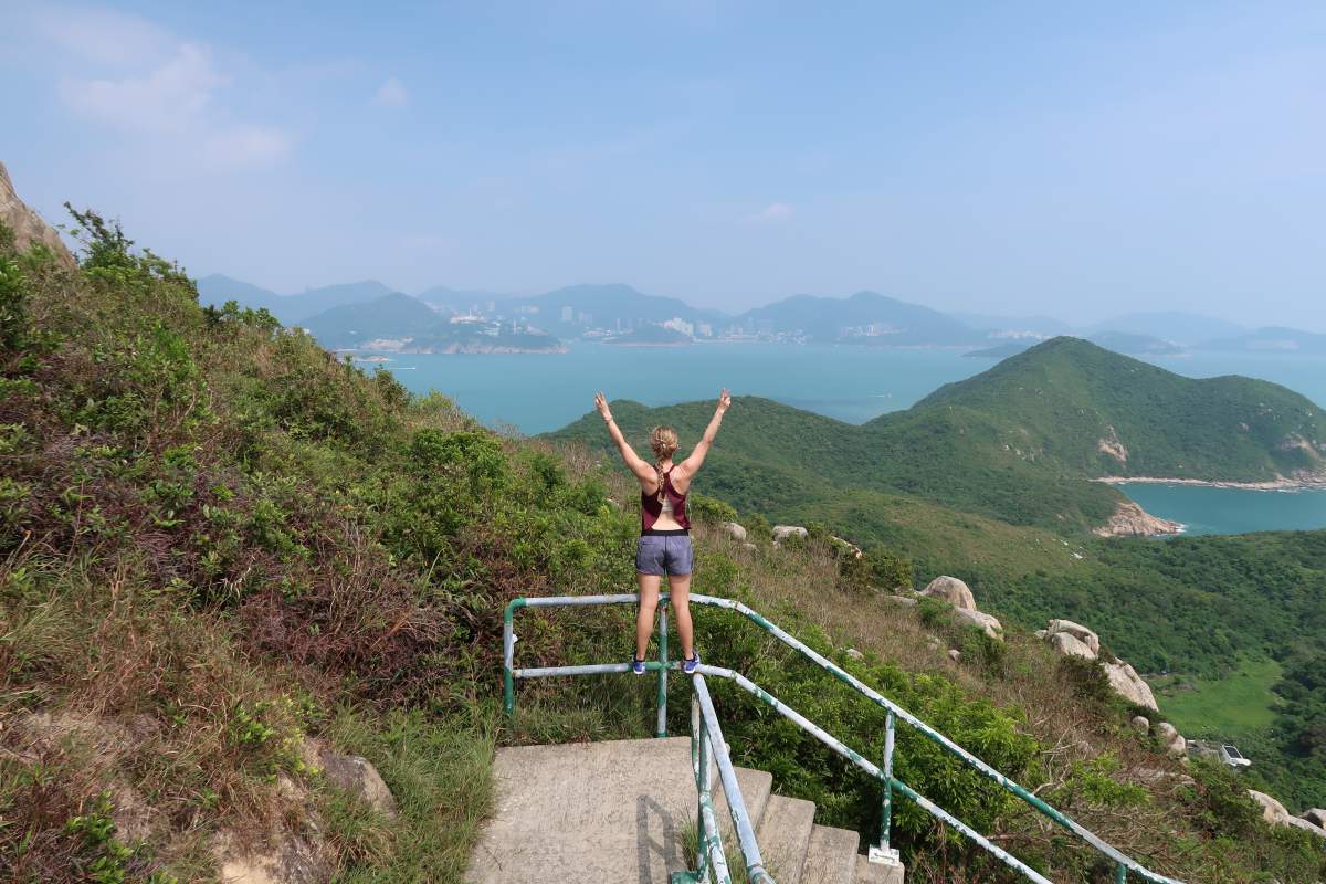
Photo op views. There’s also a few large rocks to the right that make for great photos/views.
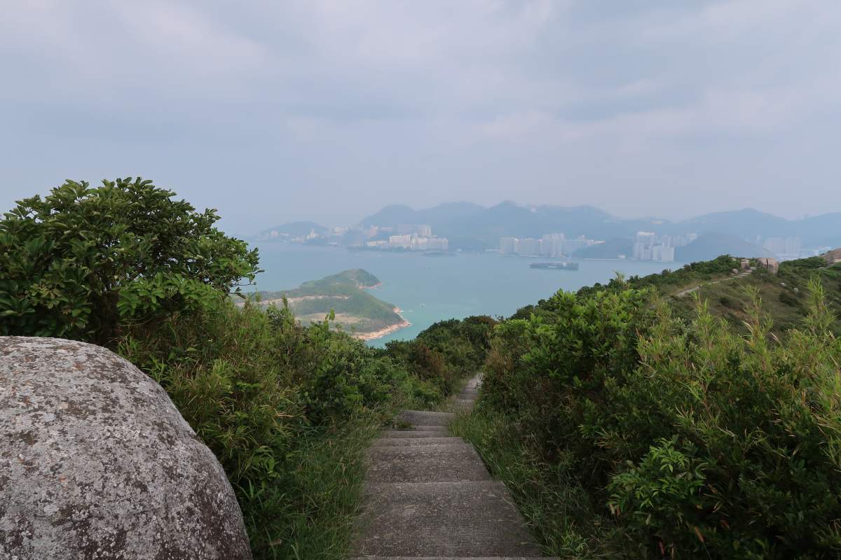
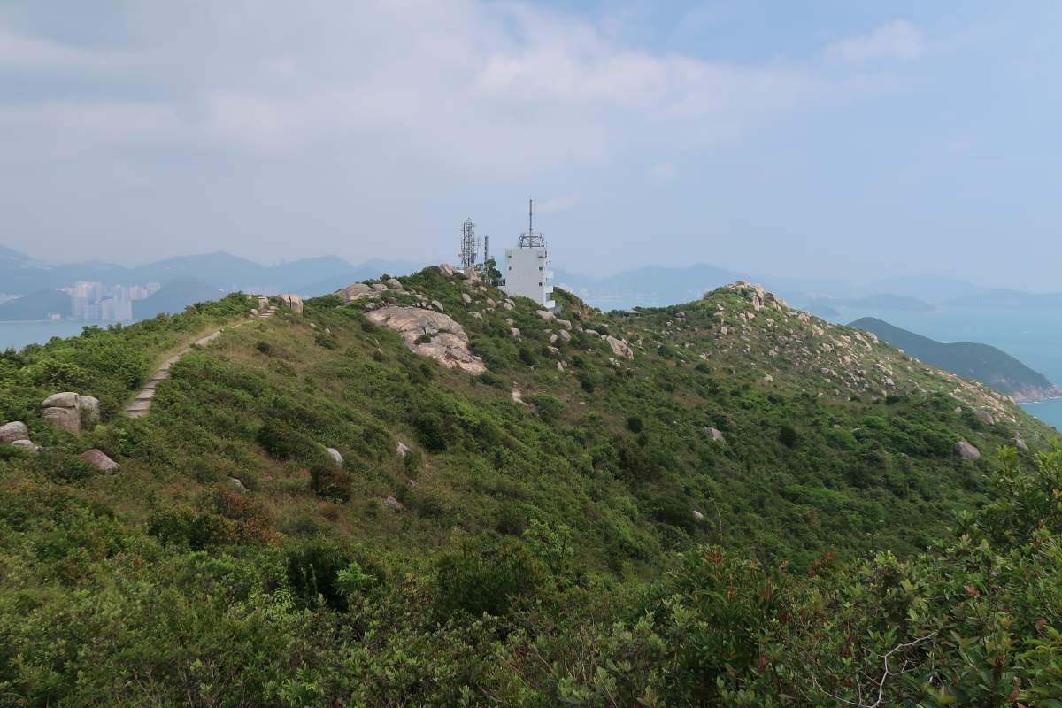
Once you’ve climbed up the stairs (and passed a few cemeteries along the way) you’ll reach a fork in the path (Ling Kok Shan) where you can go straight, left, or right. Head right for a quick photo op – there’s a pavilion and a few large rocks to stand on that overlook the surrounding area. Once you’ve updated your Instagram story, head back down to the fork in the path and turn left instead (technically, at this point, you’ll be going straight).
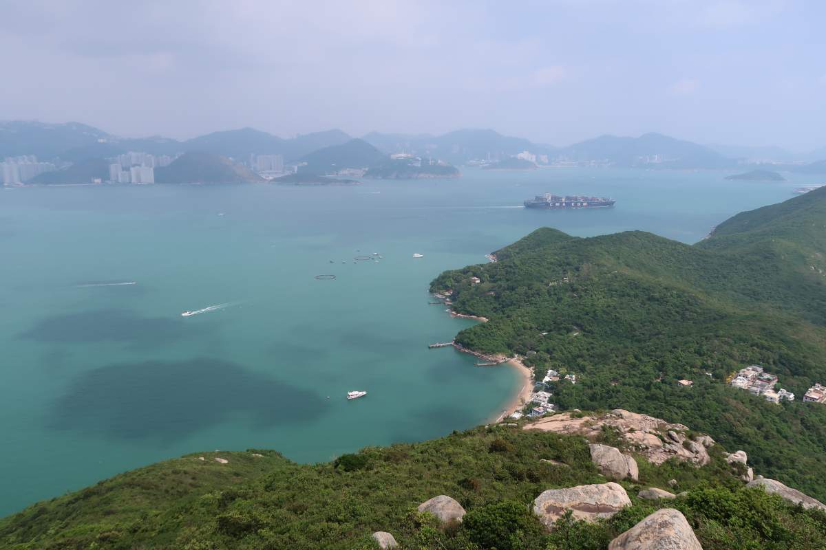
Looking out at Aberdeen
The trail you’ll be going along
Looking down at Sham Wan
Looking down at Mo Tat Wan
Descending down the hill
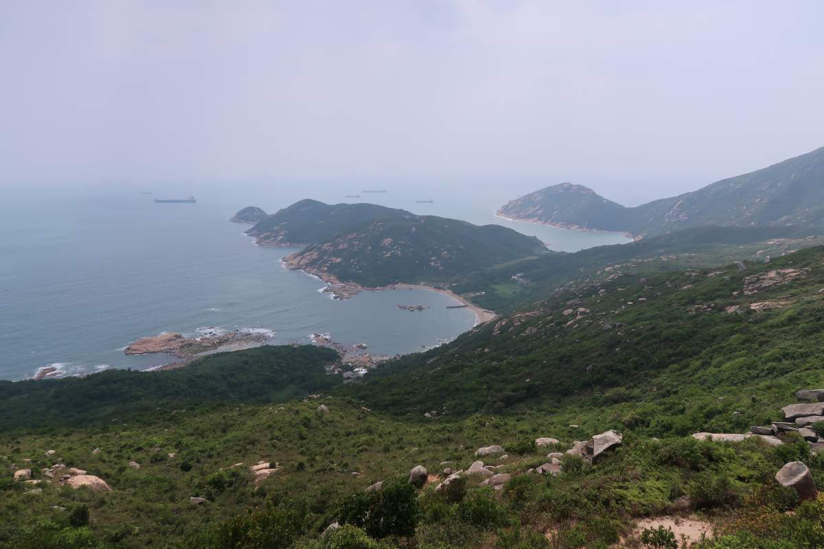
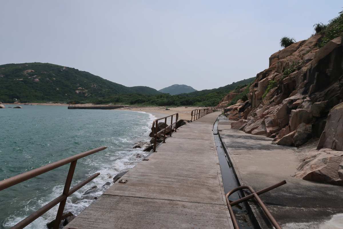
The trail is all paved, so you really can’t get lost along the way. The trail takes you east along the ridge top where you’ll be able to see some great views of Aberdeen and the south side of HK Island (depending on how clear the skies are), as well as the the south side of Lamma Island. When you reach the bottom of the stairs leading down to Mo Tat Wan, turn right (there are public toilets right there) and continue to follow the path.
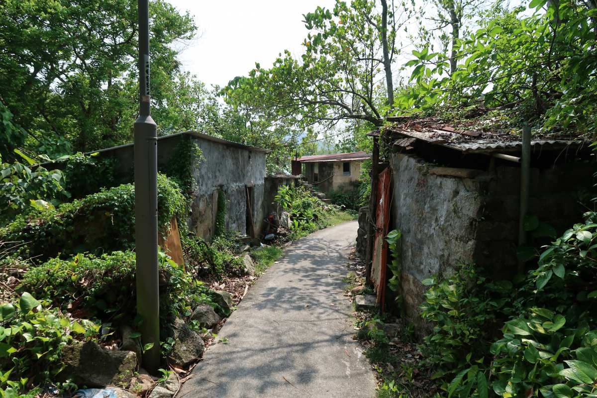
Mo Tat Old Village to Yung Shue Ha to Tung O via Shek Pai Wan Beach
Along the way to Yung Shue Ha
Walking into Yung Shue Ha
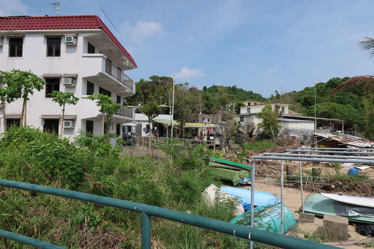
Yung Shue Ha
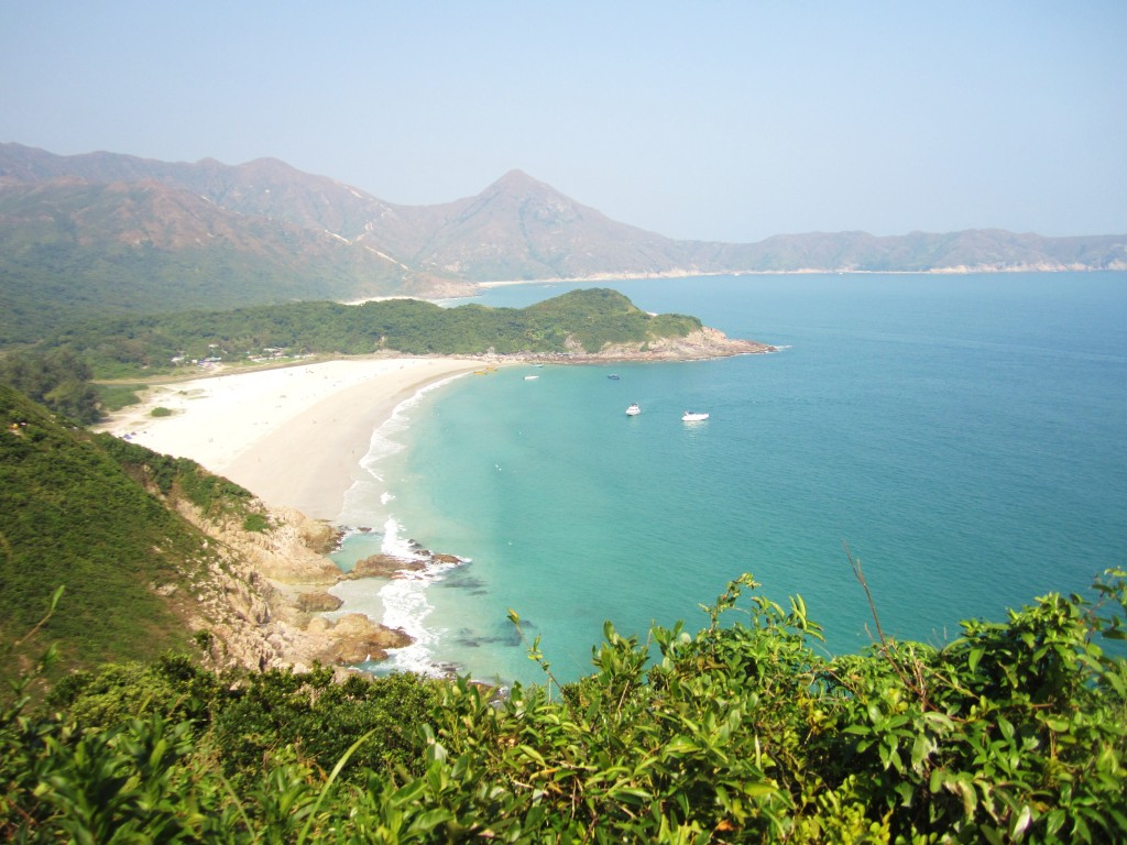
Shek Pai Wan
At the end of this path, turn right and follow the sign that says “Sok Kwu Wan”
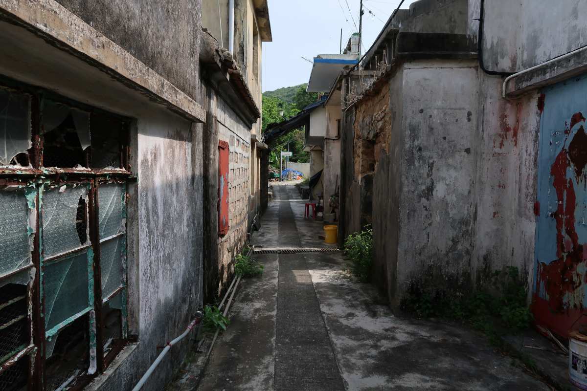
At this point, there are a few little shops (basically people’s houses) that sell drinks and snacks if you’re wanting to take a quick break along Shek Pai Wan beach. I wouldn’t recommend swimming in the water, as every time I’ve done this route, there has been mass amounts of garbage floating in the water and along the shore. Regardless, I found the little village of Yung Shue Ha really interesting and appreciated the signs that were posted, briefly explaining the history of the village and who currently inhabits the area.
After you reach the end of the path (in the last photo above), turn right, following the sign to Sok Kwu Wan. Continue to follow the path (shortly after you’ll veer right up a set of stairs) which will lead you to Ling Kok Shan where the pavilion was. From here, just retrace your steps back to the Sok Kwu Wan pier where you can finish your day with a seafood feast at one of the many seaside restaurants along the way.
Journey Length: about 7 km
Total Time: about 1.5 – 2 hours


madhu
October 27, 2017 at 1:54 pmthe view from the top looks lovely.
thisgirlabroad
November 3, 2017 at 9:50 amIt certainly was! 🙂