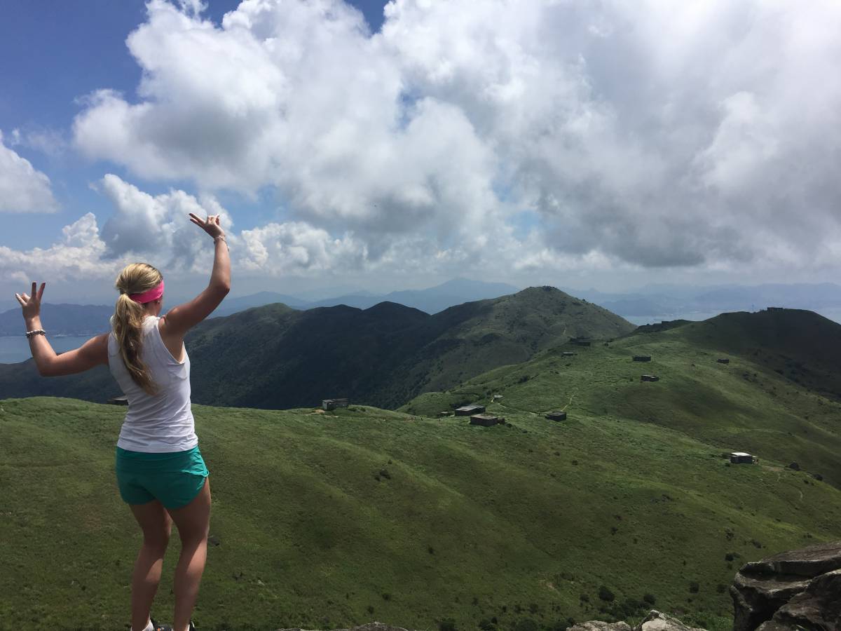
This is a great hike for people who want something a bit different and challenging (you can only hike Dragon’s Back so many times), but is still relatively easy to get to. You’ll begin this hike at Shing Mun Reservoir, and you’ll go along the trail up to Needle Hill, then move onto Grassy Hill; both of which offer up great views of the surrounding area. From there, you’ll cross Lead Mine Pass, where you’ll likely run into a wild cattle or two, to get to Tai Mo Shan, the tallest peak in Hong Kong. Once at the top, you’ll be able to look down into the Tseun Wan area (here’s to hoping it’s a clear day!). If you’re looking for a tough trail that offers a range of scenery to appreciate along the way, you should try this Tai Mo Shan hike.
Starting point of the Tai Mo Shan Hike
Take the MTR to Tseun Wan (red line) and go out Exit A. You can choose to head towards the mini bus stop (Green Minibus 82) on Shiu Wo Street or take a cab to Shing Mun Reservoir. I had every intention on taking the minibus, however, when we arrived on Sunday at around 9:30 am, the queue for that minibus must have had at least 75 – 100 people in it. Since we didn’t want to waist time waiting for the minibus, we took a cab to the reservoir. The cab ride was quick (less than 10 minutes) and I believe it was around HK$30, so I highly recommend just getting out of the MTR and hopping in a cab instead of wasting your time.
Shing Mun Reservoir/Pineapple Dam to Needle Hill (Beginning of MacLehose Stage 7)
Starting Point (go right)
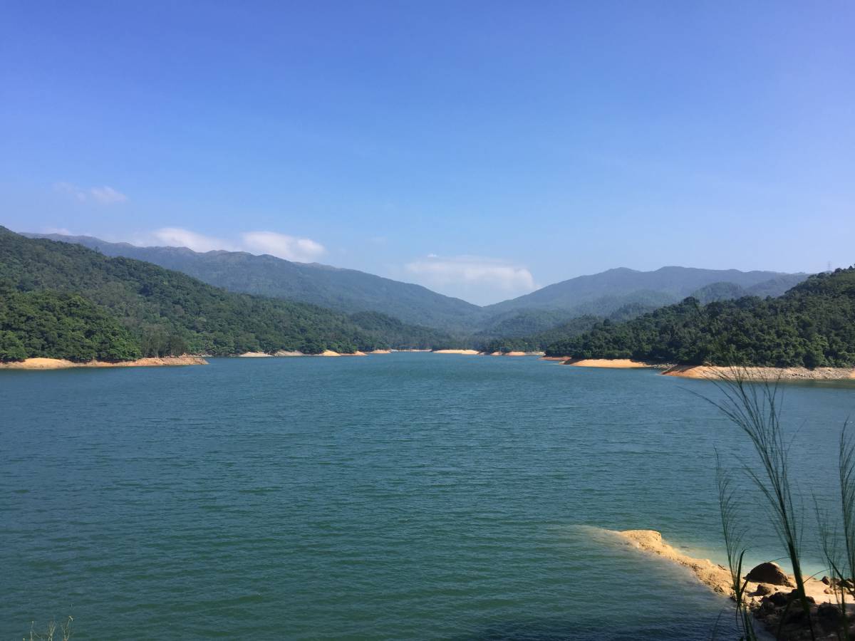
Pineapple Dam
Once you get off the minibus or out of the taxi, you’ll be at the starting/finishing point for the Shing Mun Reservoir Walk, so you can expect to see quite a few people around. You’ll see a path to your left and a path to your right (when facing away from the road you just traveled down and towards the small hill in front of you). Go right and begin walking along Shing Mun Road. Continue walking for another 5 minutes until the road merges into MacLehose Trail Section 7 where you’ll walk along a path over Pineapple Dam.
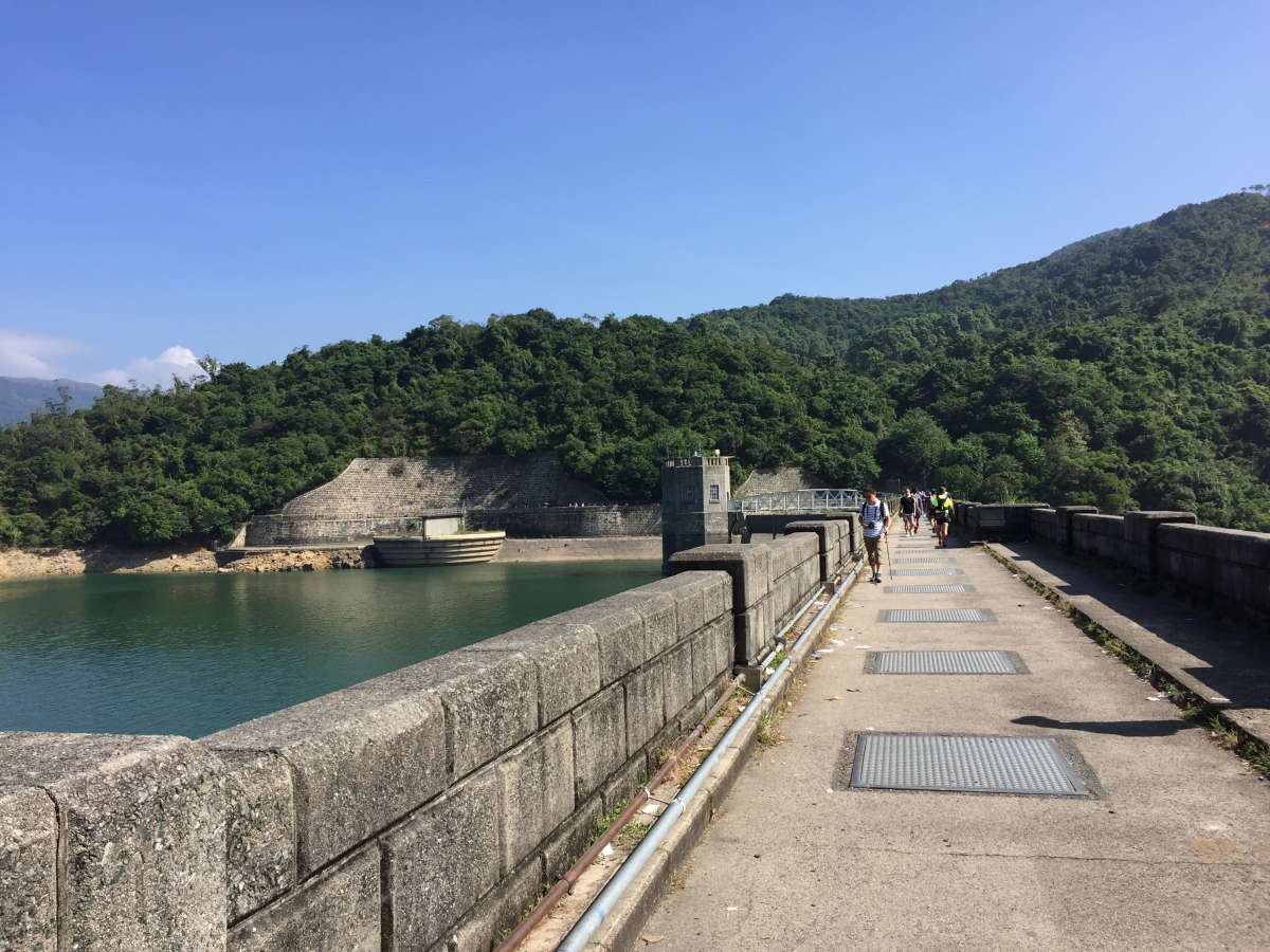
Walking over Pineapple Dam
Once on the other side of Pineapple Dam, follow the sign and go right to continue on MacLehose Trail Section 7 (if you go left, you’ll be walking along the Shing Mun Reservoir trail around Pineapple Dam and back to the starting point). Shortly after, you’ll see a large sign saying “MacLehose Trail (Stage Seven)” above a set of stairs – go through here and begin your ascent up.
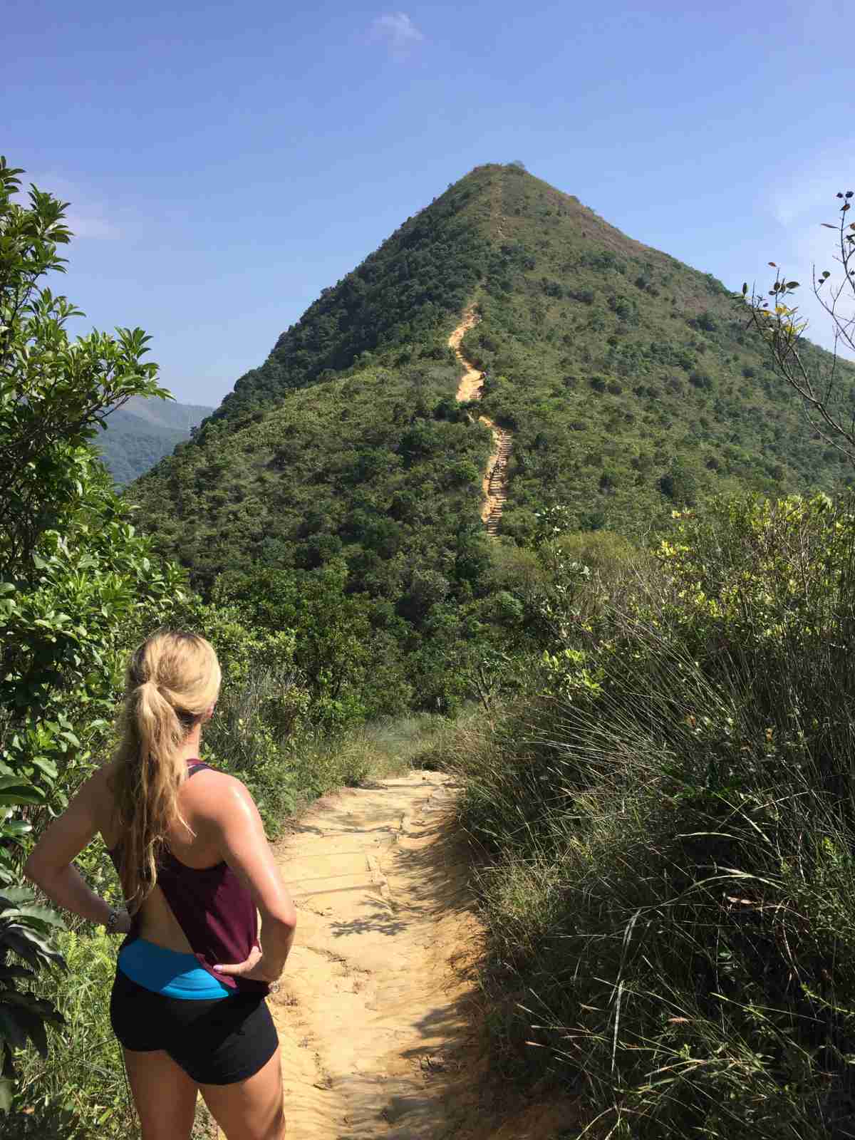
Needle Hill in the distance
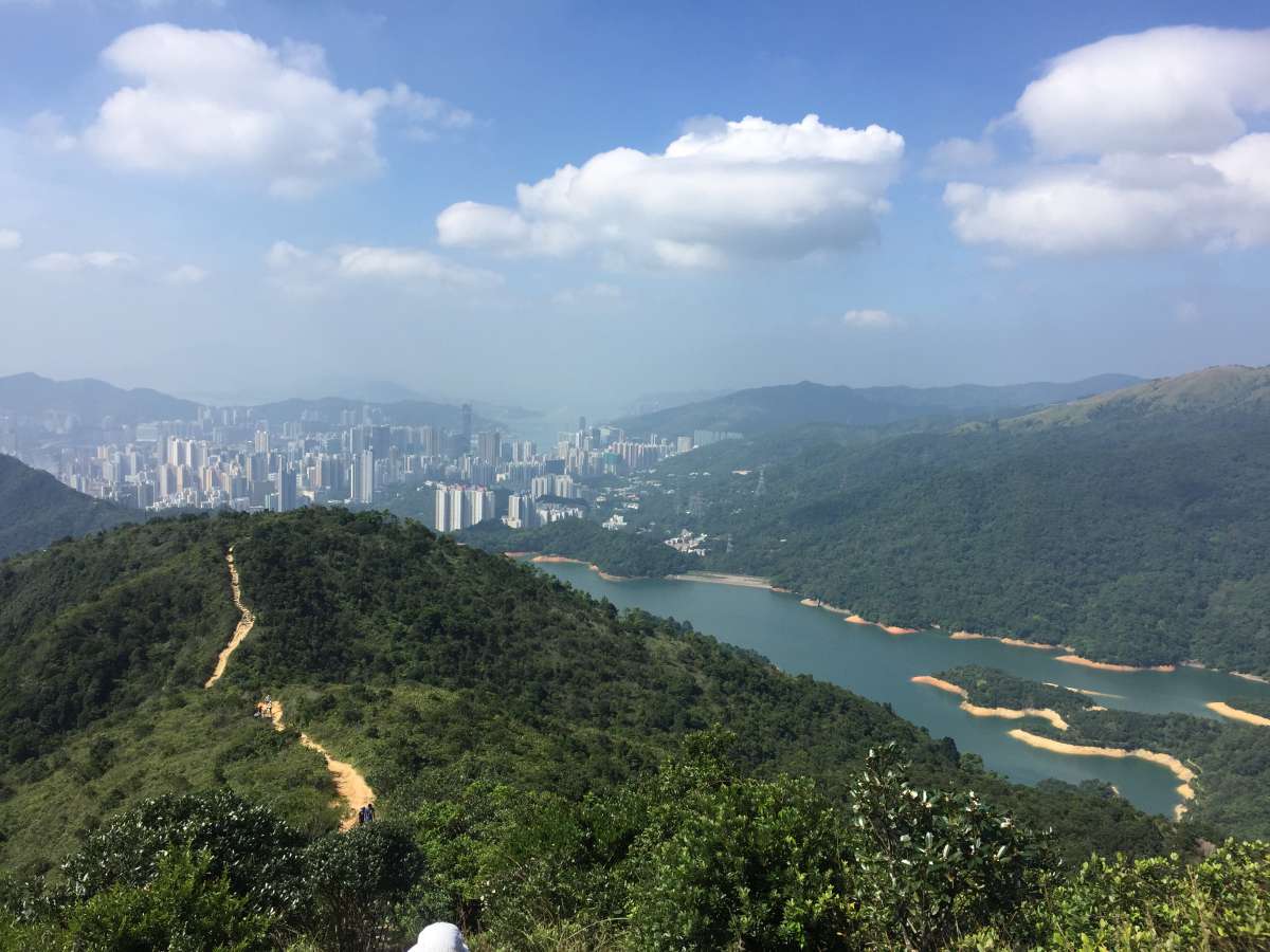
View from the top of Needle Hill
Shortly after, you’ll break out from under the trees and find yourself in front of Needle Hill. Once you’ve reached the top, you’ve conquered the first challenging part of this hike (yay!). Your reward? Great views of the city behind you.
Needle Hill to Grassy Hill (MacLehose Stage 7)
Descent down Needle Hill
Fork in the path; turn right
Now, you’ll be descending down Needle Hill and you’ll have a relatively easy hike up to Grassy Hill. The route is very straightforward: just stay on MacLehose Stage 7 Trail (there will be sporadic signs; follow towards “Lead Mine Pass”) and you’ll eventually end up at Grassy Hill (which is also the end of MacLehose Stage 7). The only part where you might need to double-check your way is at a fork in the road (see photo above) where the paved path continued straight and a more rugged-looking path curved off to the right. At this point, you’ll make a right and head up the path along MacLehose Stage 7. There will be a few more spots along the way where multiple routes jut off from the path; just continue to follow the sign in the direction of “Lead Mine Pass”.
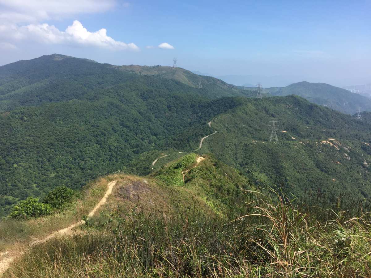
Looking up towards Grassy Hill
View from Grassy Hill
You’ll eventually come to a bit of a circular paved path with stairs leading down towards Lead Mine Pass and then an upwards walk to Grassy Hill on your right. Take a quick walk up (literally 2 minutes) to Grassy Hill to take in those sweet views before heading down the stairs.
Grassy Hill to Lead Mine Pass
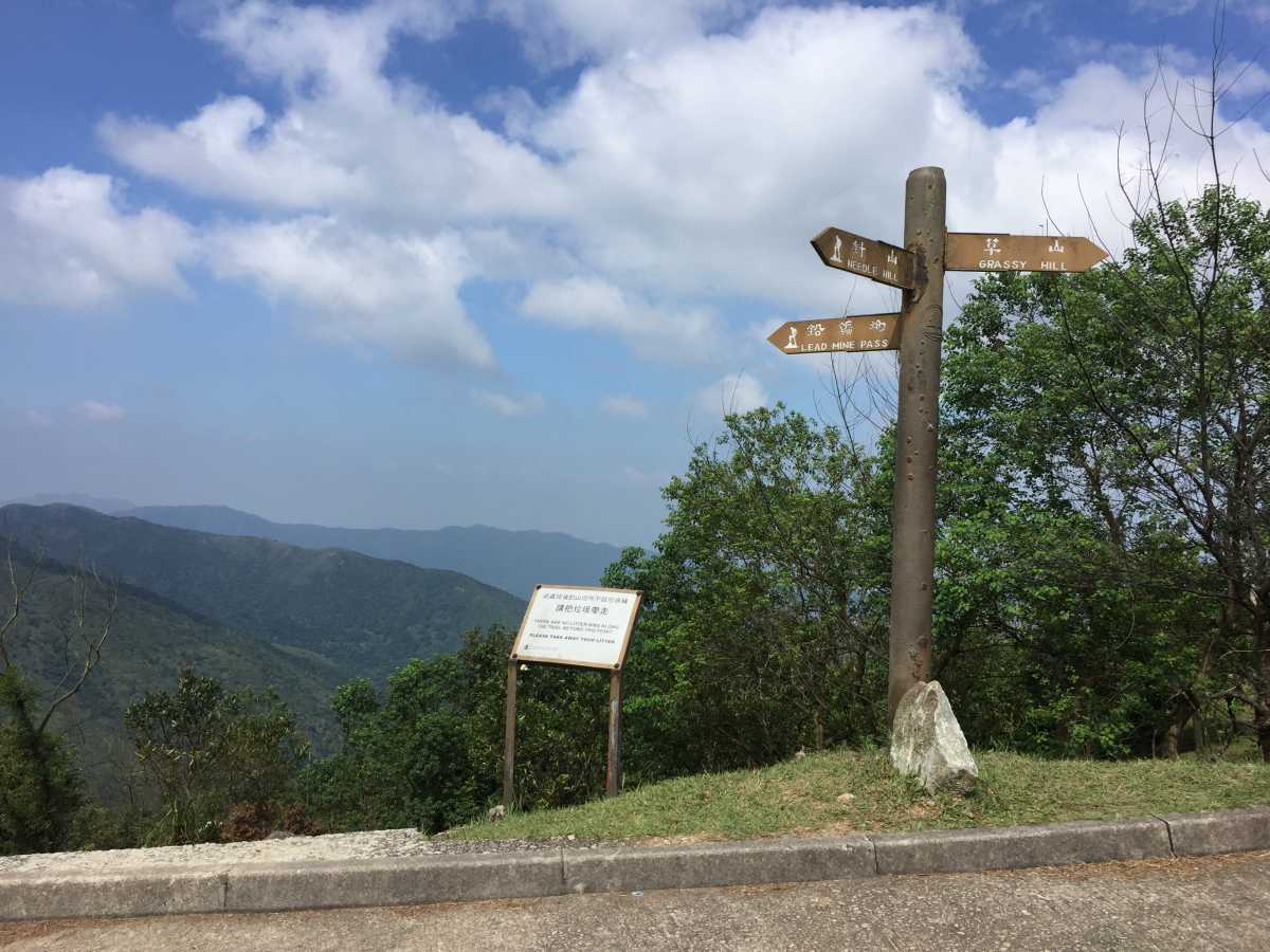
Head straight down the stairs towards Lead Mine Pass
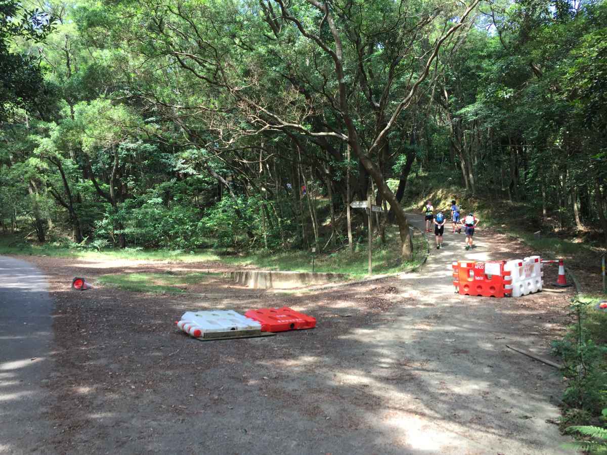
Lead Mine Pass: End of MacLehose Stage 7, Start of MacLehose Stage 8
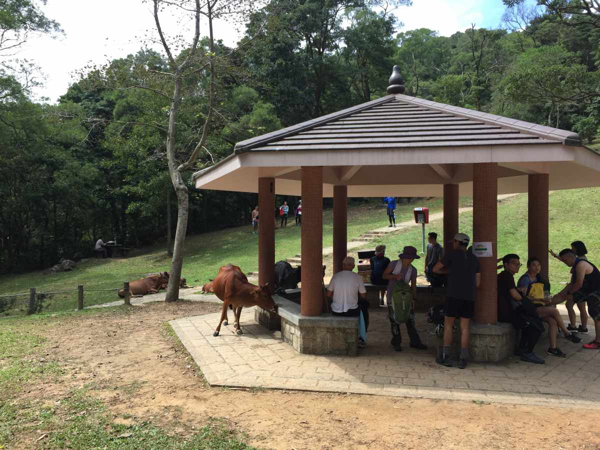
Head down the stairs from Grassy Hill towards Lead Mine Pass – the walk is quite short (just follow the same path) and you’ll eventually reach a pavilion with washrooms. You’ll likely be surrounded by other hikers taking a quick break and a handful of roaming wild cattle who will most certainly harass you if you’re eating anything in front of them.
Lead Mine Pass to Tai Mo Shan (MacLehose Stage 8)
After a quick break at Lead Mine Pass, head up the path with a large sign overhead that says “MacLehose Trail (Stage Eight)” (the path is directly behind the pavilion). This section of MacLehose is quite exposed and the scenery is different; you’ll be walking along small dirt paths with various sized rocks all around you.
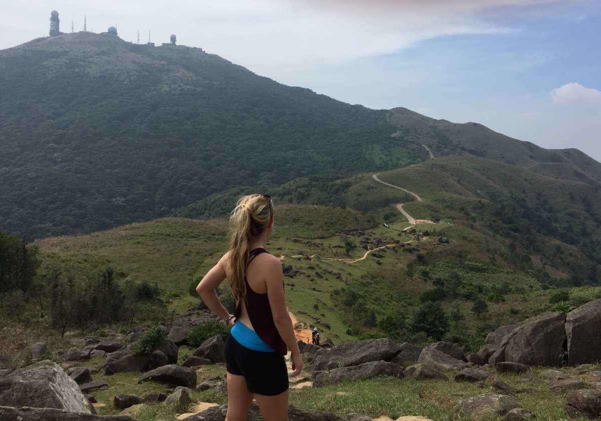
MacLehose Stage 8; Tai Mo Shan in the distance
As you continue along MacLehose Trail Stage 8, you’ll eventually see Tai Mo Shan in the distance with its various weather station gizmos and gadgets jutting out of the hill. Tai Mo Shan is actually Hong Kong’s tallest peak at 957 m and is also the coldest place in the city (people will actually hike up to the top during extremely cold days in hopes of a glimpse at frost) during the winter months.

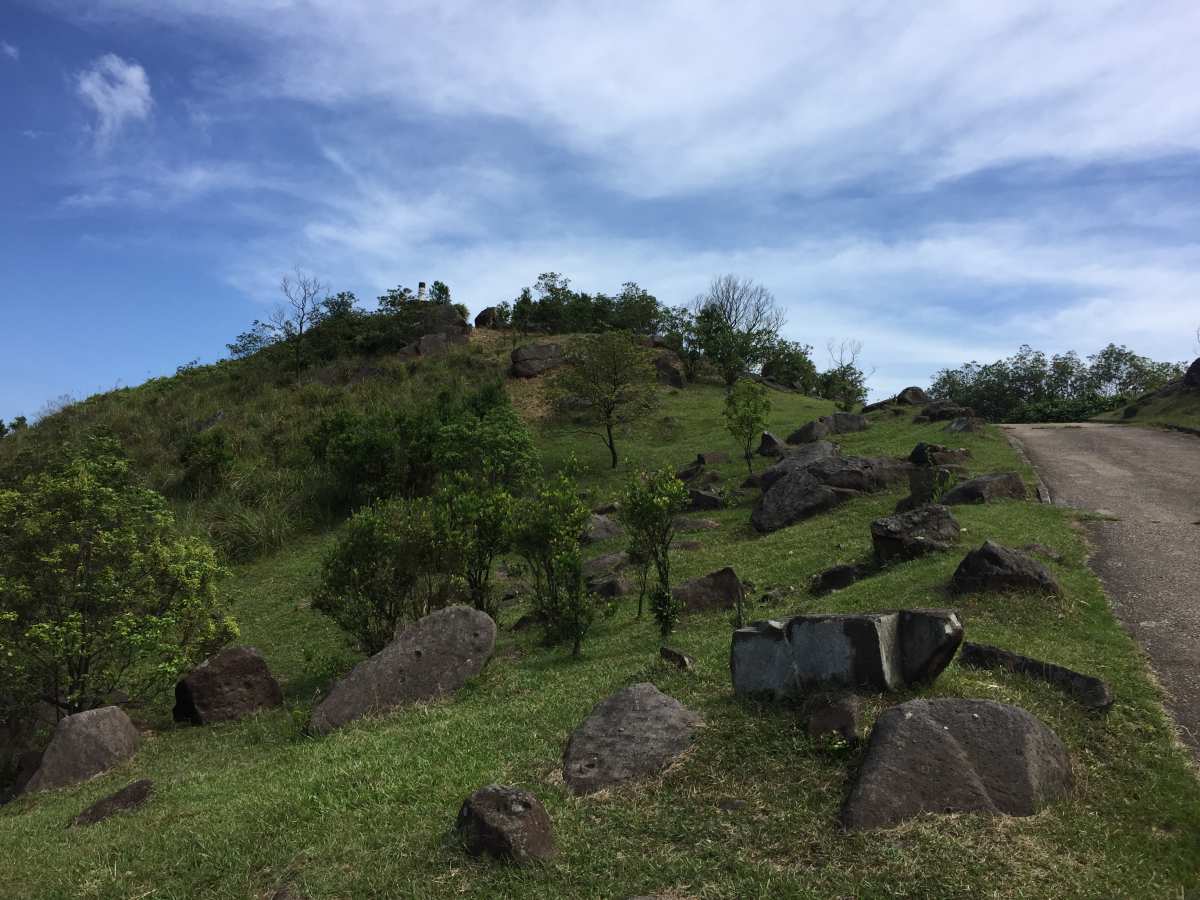
Almost at the top of Tai Mo Shan
The path will eventually turn to pavement as you reach Tai Mo Shan Road, from which it’s only a short (though steep) walk to the top.
Tai Mo Shan to Tseun Wan
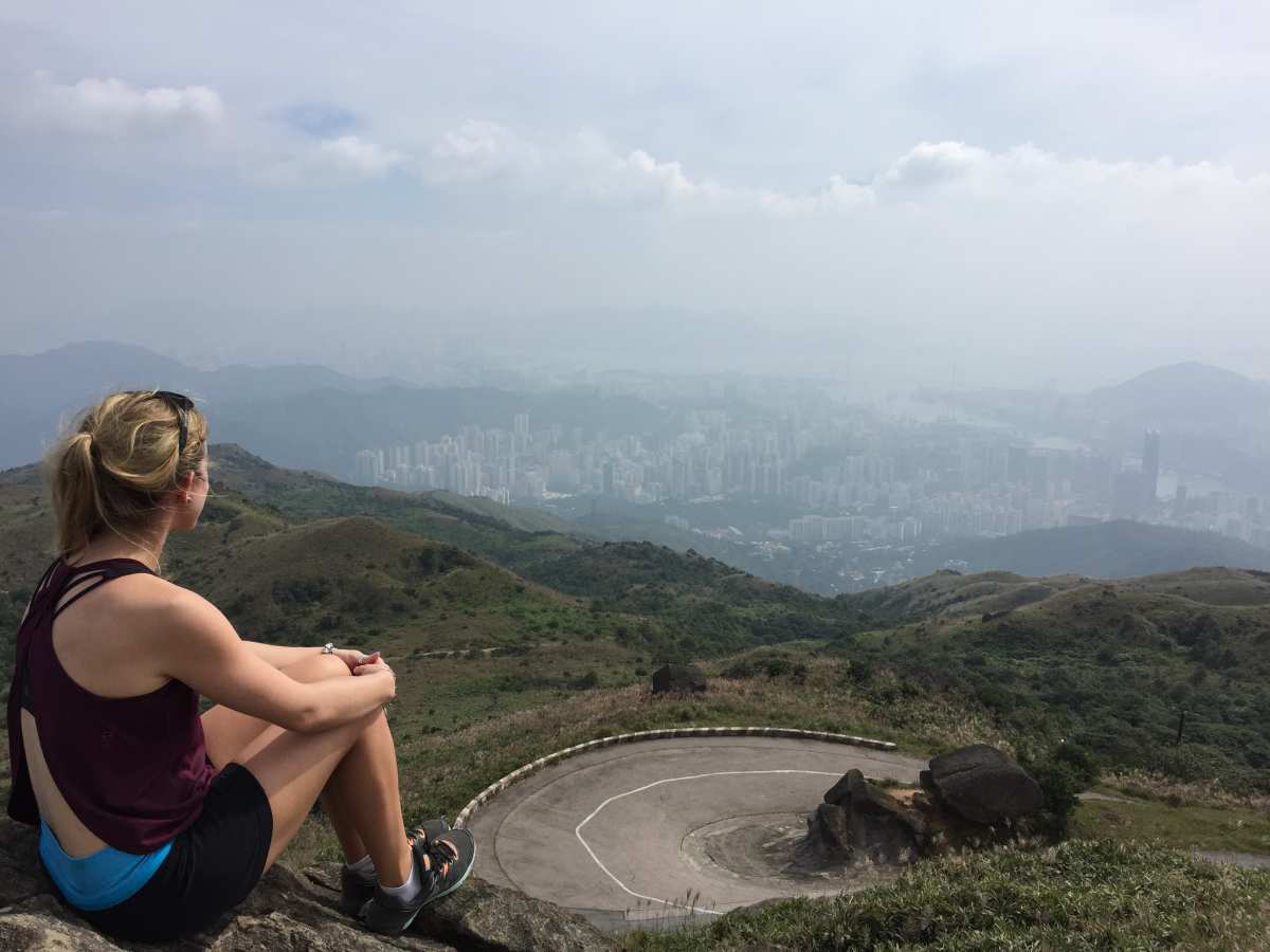
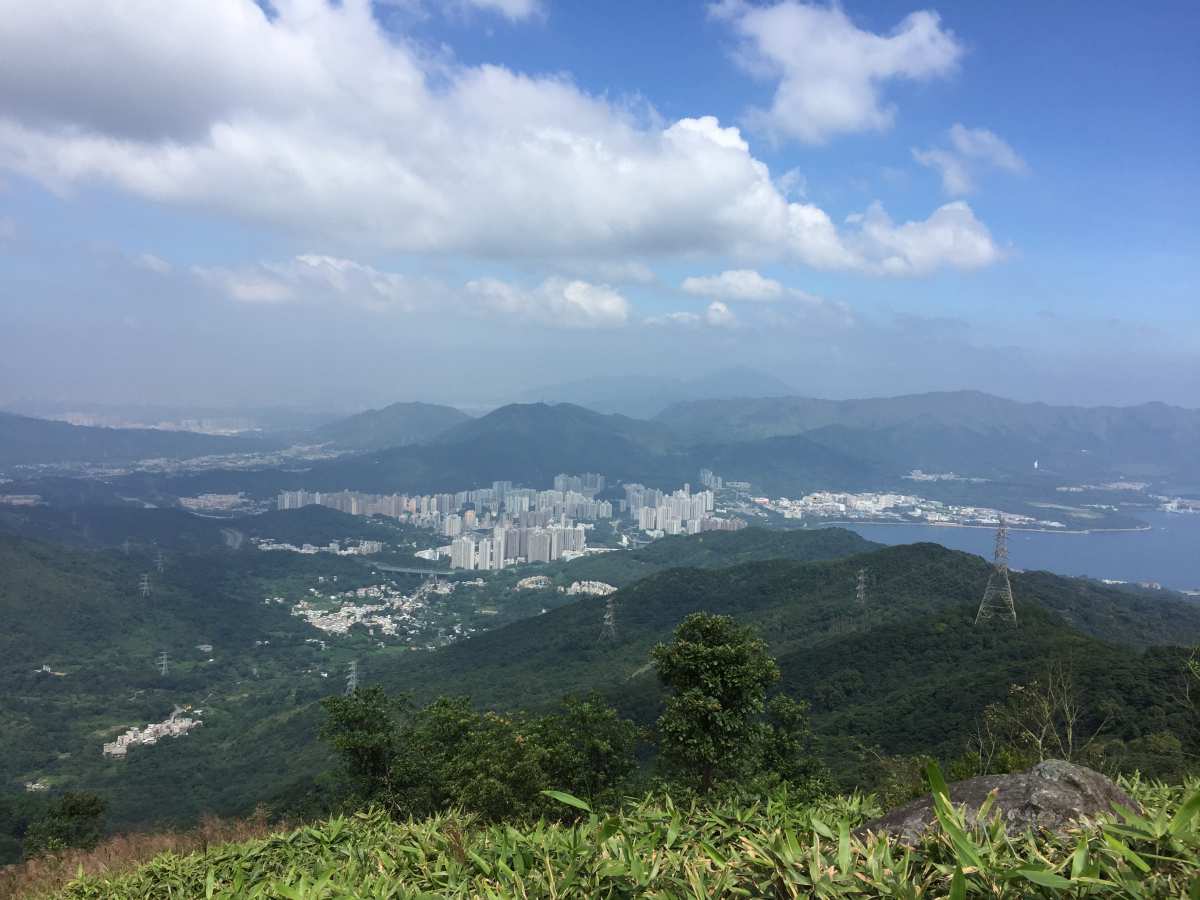
View at the top of Tai Mo Shan
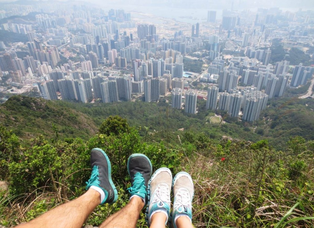
Once at the top, walk a little further down to catch some breathtaking views (if it’s a clear day, which I, unfortunately, was not blessed with ) of the city below.
After your photo session, begin making your way down the paved winding road until you reach a parking lot with a little teal colored security building on your left side. To exit the parking lot, turn right and make your way down Tai Mo Shan Road (the walk is fairly long and boring).
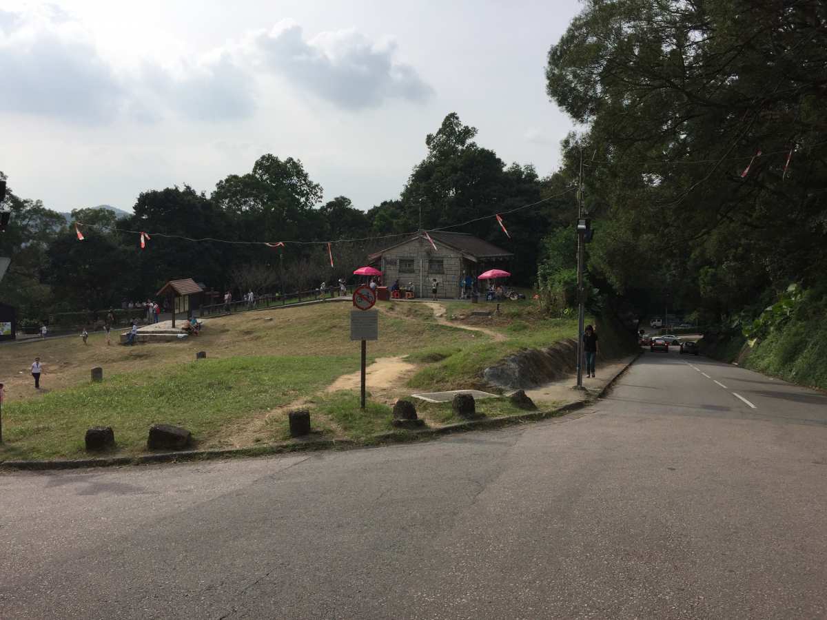
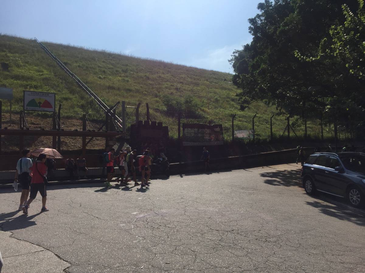
End of Tai Mo Shan Road
You’ll come to the end of the hike when you see the large open space with a little food shop (Gatorade and fish balls, anyone?) and washrooms. To catch the bus back to Tseun Wan, head down the road you came from (in the photo above, it’s the road to the right) and turn right when you get to the intersection. The first bus stop you see down the road is the one you’ll want; take KMB bus 51 all the way to Tseun Wan Railway Station. From here, it’s only a few minutes’ walk to the MTR.
Journey Length: about 16 km
Total Time: 5 – 6 hours