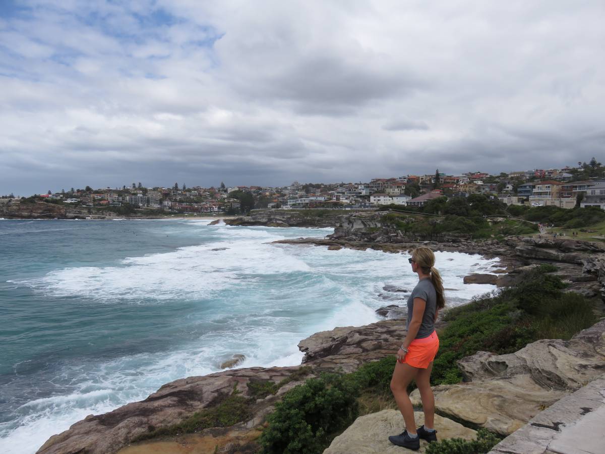
The Spit to Manly hike is a well-known route to any Sydney local and is the perfect day outing if you’re looking for something similar to the Bondi to Coogee Coastal Walk, but less touristy and crowded. The walk is a relatively easy 10 km and should take about 3 hours, depending on whether you stop at some of the beaches. As you go on your hike, you’ll walk past over six beautiful beaches, some of which are quite secluded, that you can go for a quick dip to cool off before continuing the hike. This was one of the highlights of my time in Sydney and I would highly recommend it if you have the time.
How to get to the start of the Spit to Manly Hike
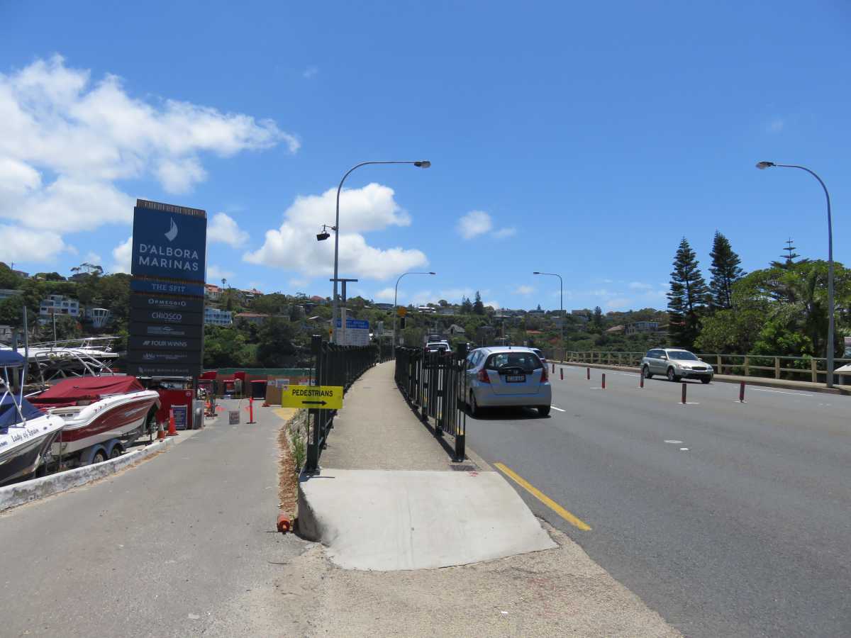
Crossing Spit Bridge
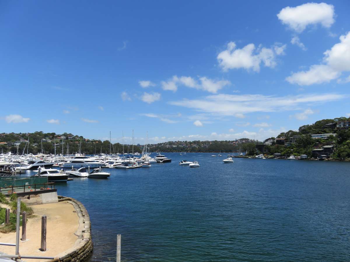
Looking out over Spit Bridge
The bus you take will depend on where in Sydney you’re starting from.. For me, I took the M40 from Darlinghurst to Wynyard Station, then transferred to the 178 which took me straight to Spit Bridge (about AUS$2.50 on your Opal card). If you go onto Sydney’s public transportation website, you can easily find the best route for you depending on your starting point.
Once off the bus, walk across Spit Bridge on the left hand side. At the end of the bridge, you’ll see stairs directly to your left and a little behind that will take you under the bridge – go down and cross here. After you come out on the other side of the bridge, you’ll easily see where the path of the Spit to Manly hike begins.
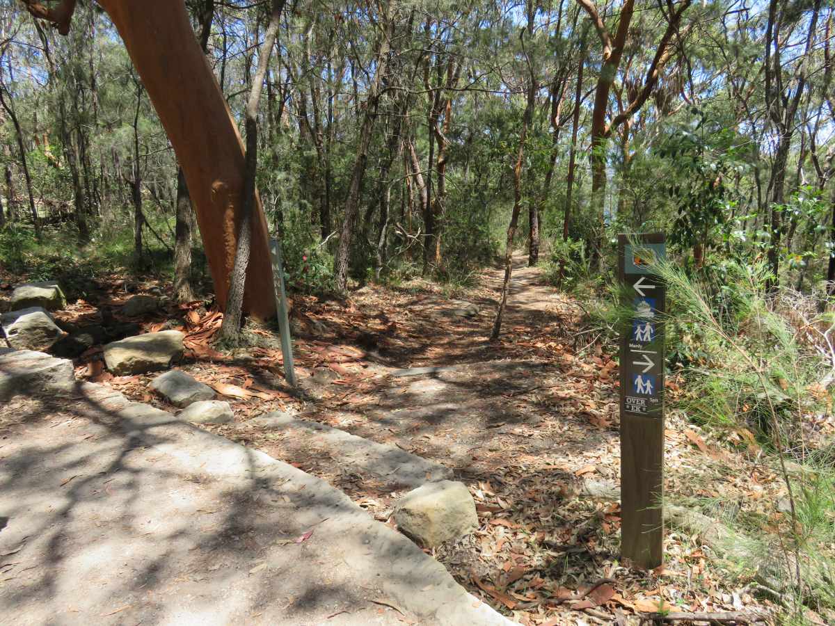
Since this walk is very direct and easy to follow, I won’t go into much detail in terms of direction (there are plenty of signs and you’re literally just following the path along the coast). Rather, I’ll show you the stunning beaches and views you’ll see along the way.
Sandy Bay
This is the first beach you’ll come across shortly after you’ve begun your hike. Expect to see quite a lot of people on the beach, and throughout the park and grassy area behind. The beach is quite long – if you continue walking a bit further, you’ll be able to find a less crowded section.
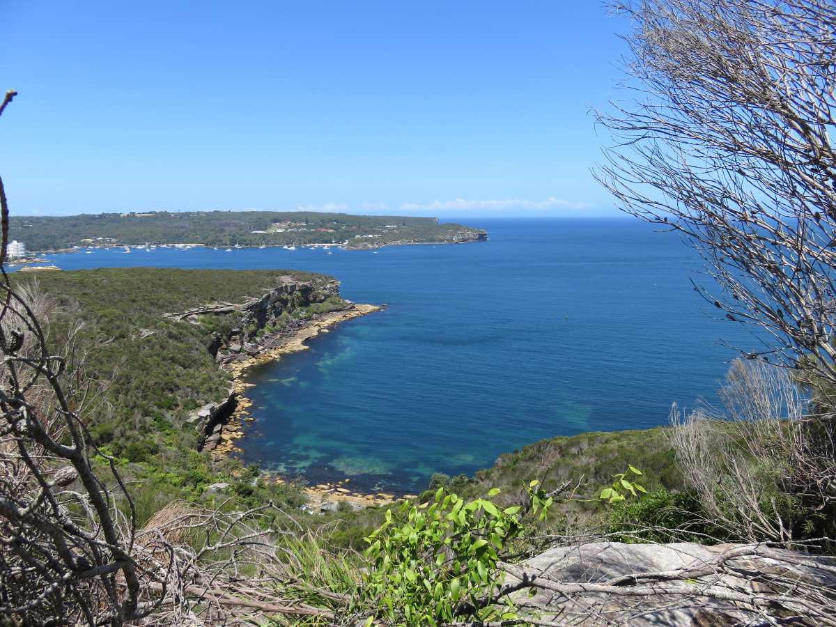
Castle Rock
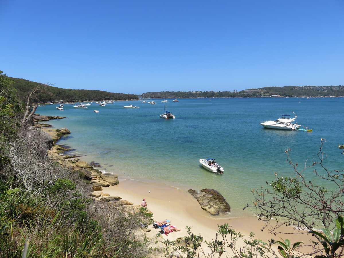
Castle Rock is a lookout area; you’ll see beautiful waterfront houses across from you and luxurious yachts sailing through the bay. If you look down, you’ll also see a secluded, small beach that can only be reached via boat.
Grotto Point Lighthouse
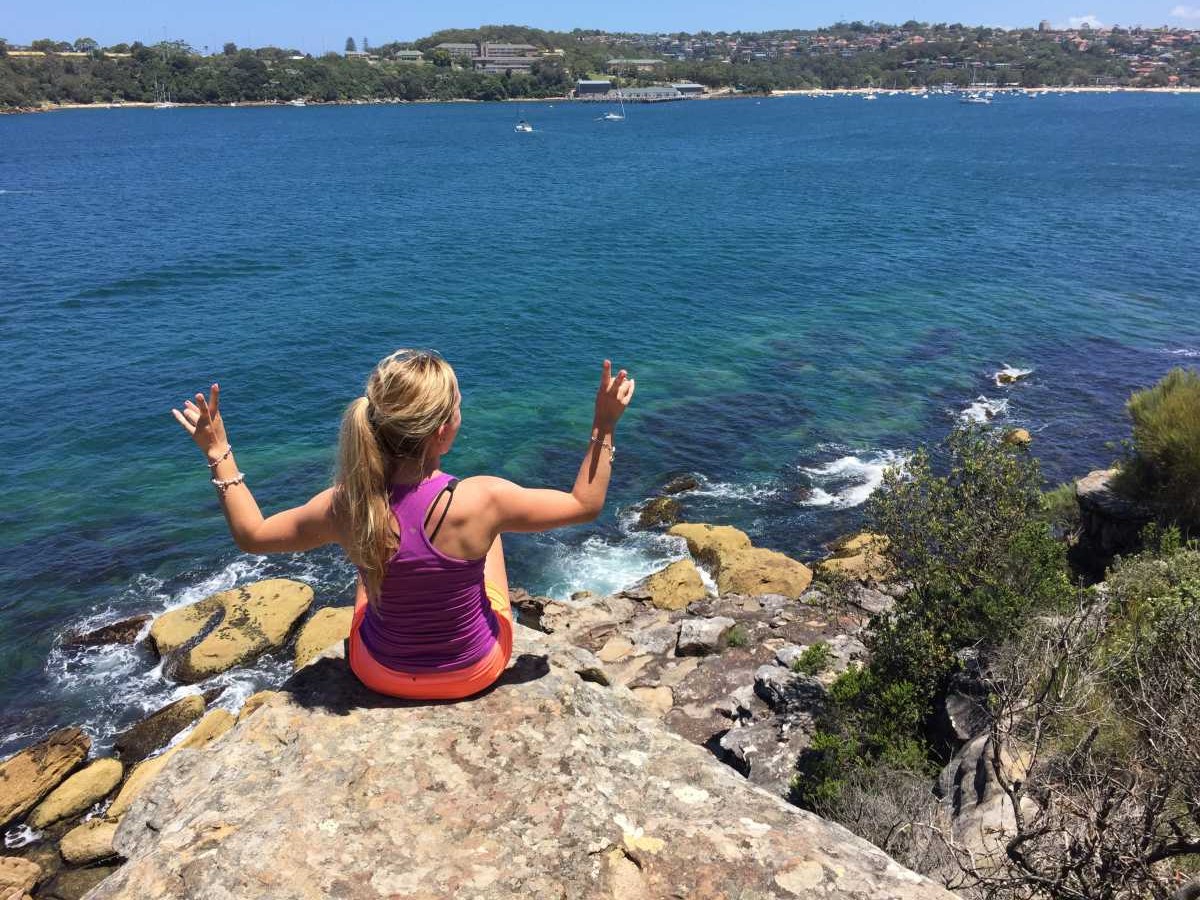
As you’re hiking along, be sure to take the quick detour to your right and walk down to the Grotto Point Lighthouse shortly after Castle Rock where you’ll be privy to some fantastic views.
Dobroyd Head
No beach here, but nevertheless some breathtaking sights.
Reef Beach

At this point, we were feeling a bit sticky and loved the quiet-calm of Reef Beach (which also happens to be about half-way through the hike), so we decided to head down the stairs, drop off our stuff, and make our way into the water to cool down.
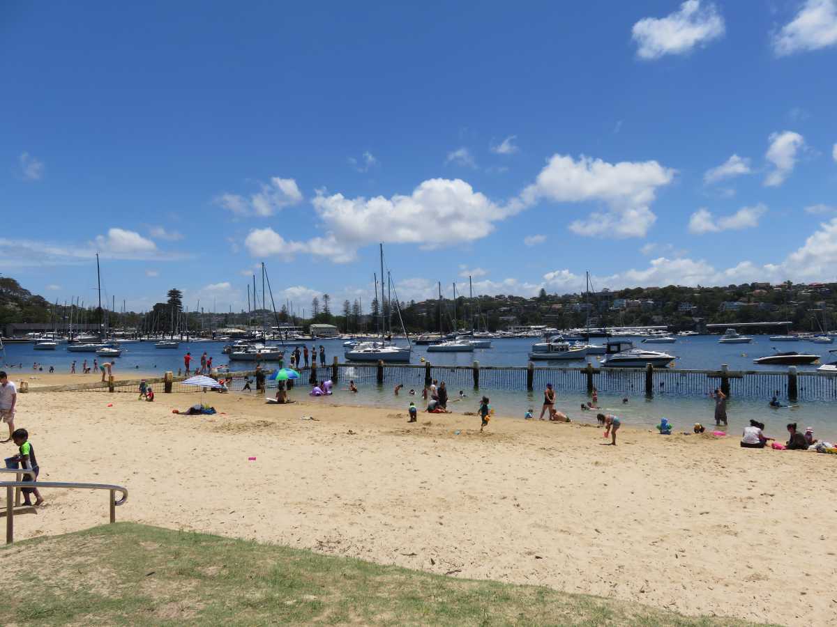
Forty Baskets Beach
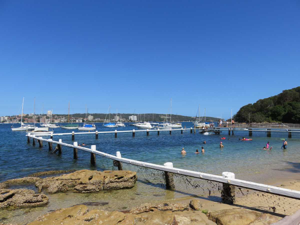
Much busier than the last beach, Forty Baskets Beach is a larger, enclosed beach area. The views are lovely, with plenty of sailboats dispersed throughout the water.
Fairlight Beach
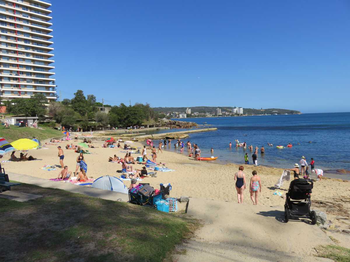
After making your way around the north harbour, you’ll end up at Fairlight Beach. Though relatively small, the water is calm and it had a natural swimming pool at the far end.
Manly
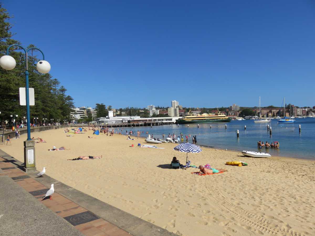
After walking through a bit of a residential area, you’ll eventually end up at Manly. Here, you can stay on this beach or cross over to the other side (to your left and past the shops and restaurants) and go to Manly Beach. Or, if you’re ready to call it a day, you can always hop on the next ferry back to Circular Quay.
Distance: About 10 km
Time: About 3 hours