I’ve had this hike on my list for quite some time, but kept putting it off since it’s as far west as you can possibly go on the MTR and, rather ironically, I can be pretty lazy. That being said, this hike is perfect if you’re looking for a hike that is relatively quick and offers different views of Hong Kong. When we went on this hike, the visibility wasn’t great, so try to save this one for a clear, sunny day. While I did enjoy the climb up and the (partial) views we had, getting down from Castle Peak was an absolute nightmare. Read on to find out why..
Starting point of Castle Peak Hike: MTR to Tuen Mun
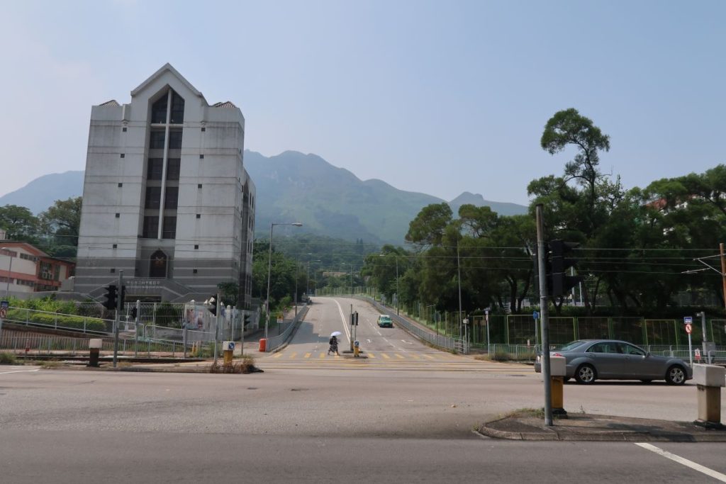
The start of the hike is easy to get to as it begins at Tuen Mun MTR station. Once at Tuen Mun, go out Exit B and head down Pui To Road. When you cannot continue down Pui To Road any longer, turn left on Tsing Wan Road. You will need to cross this road to get to the other side. Once on the other side, look for Hing Choi Street (first photo below) and then turn right and begin walking up. This is where Castle Peak hike starts.
Tuen Mun to Tsing Shan Monastery
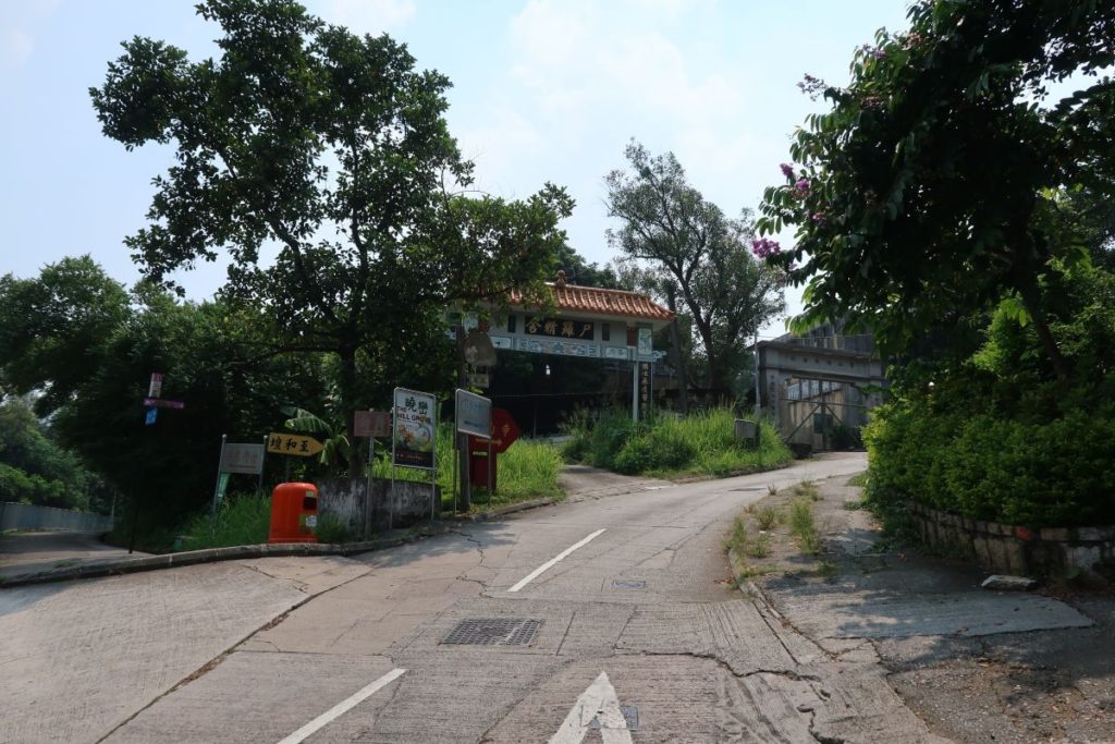
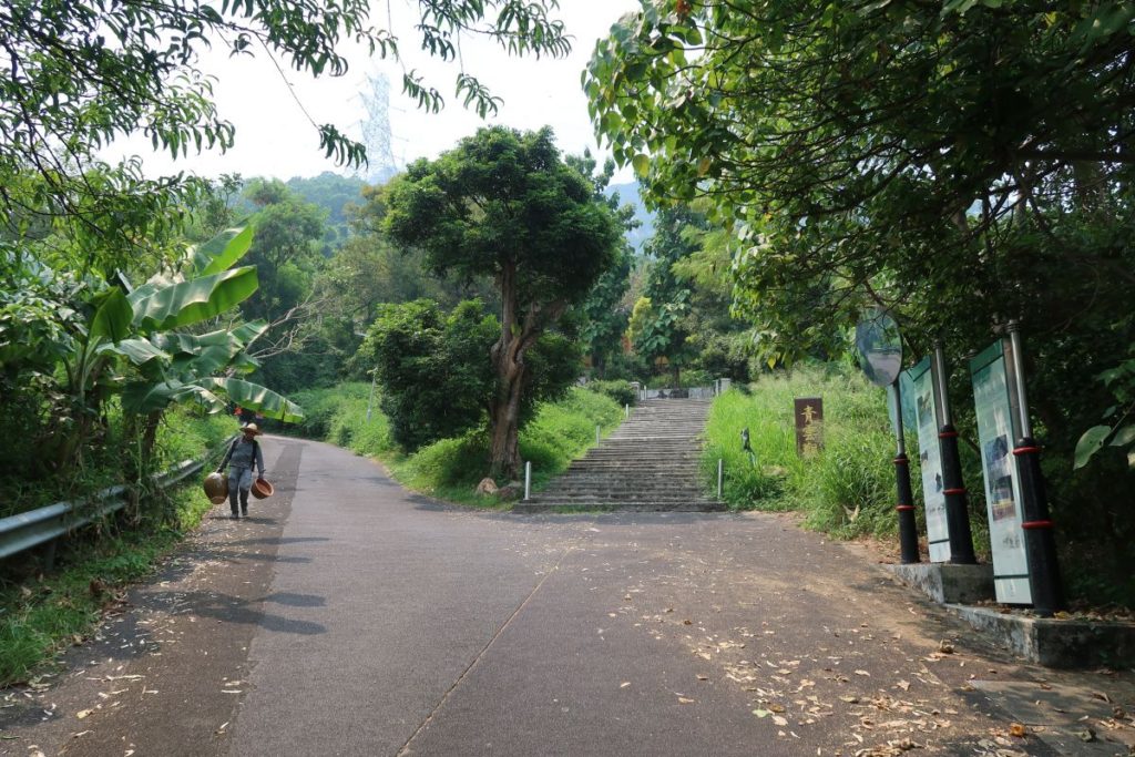
Make your way up Hing Choi Street (first photo above) – you can see Castle Peak in the distance. Stay on the left side and follow the sidewalk onto Yeung Tsing Road. Shortly after you’ll make a right onto Tsing Shan Monastery Path (second photo above).
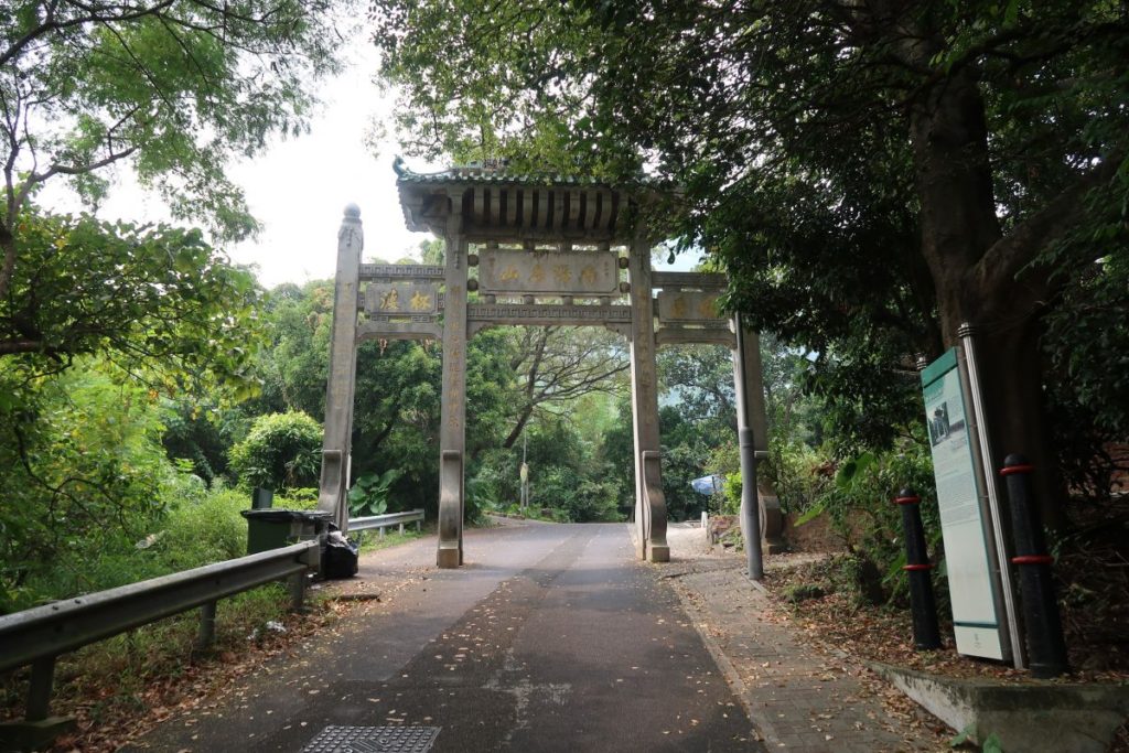
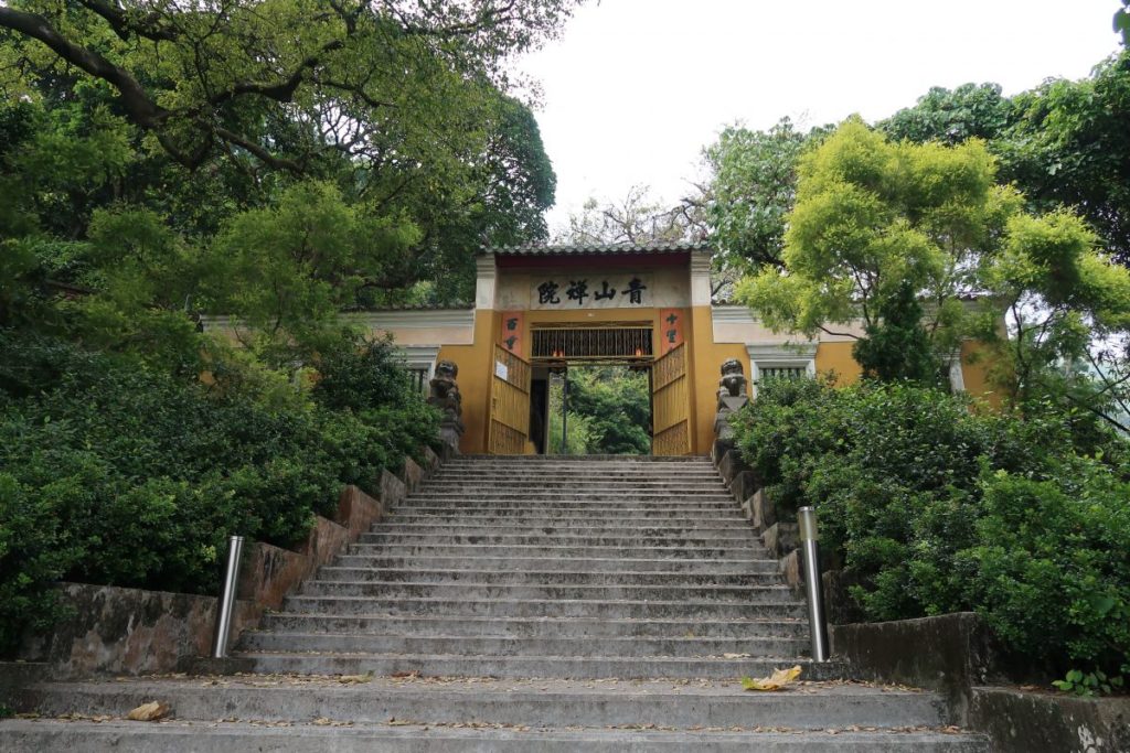
Continue walking up along Tsing Shan Monastery Path – you’ll know you’re close to the Monastery when you pass under the memorial archway (third photo above). Shortly after, you’ll come to a fork in the road with stairs leading up to the right and a flat incline to the left (fourth photo above). Head up the stairs and take some time to see the Tsing Shan Monastery (last three photos above).
Once you’re done walking around the Monastery, either head back out the way you came and continue up the path, or you can find the path that leads through and around the monastery to the other side (this way will connect with the path, so it really doesn’t matter which way you go).
Tsing Shan Monastery to Castle Peak (Transmitting Station)
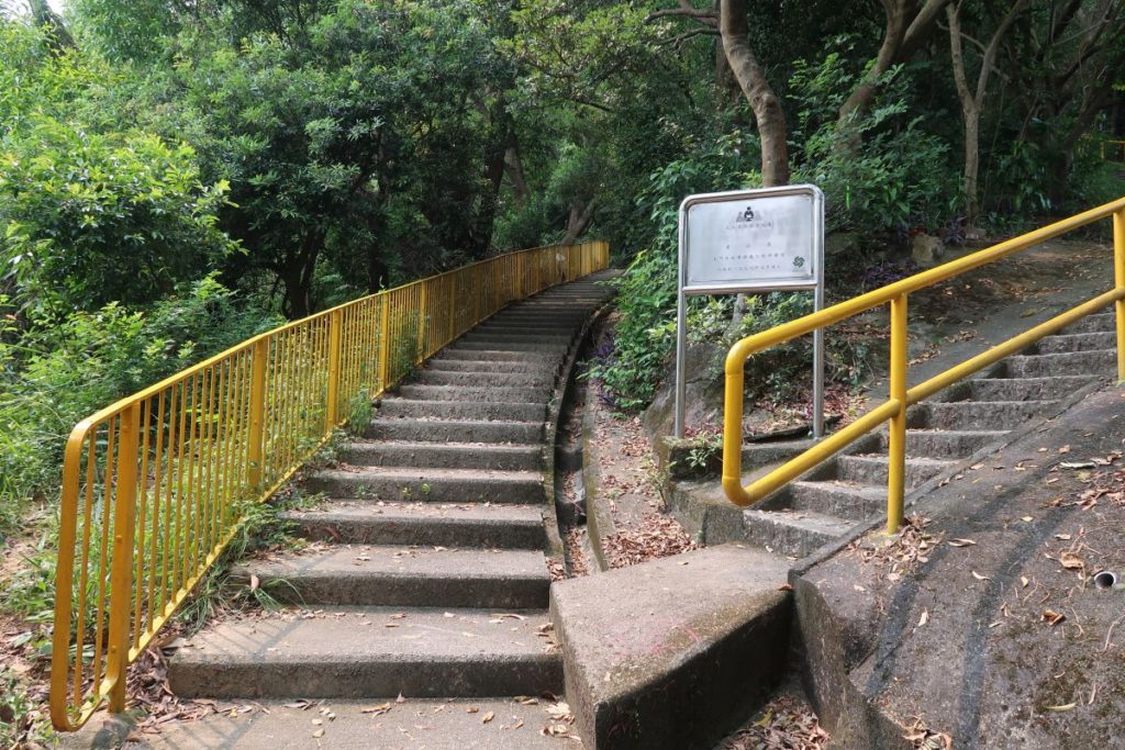
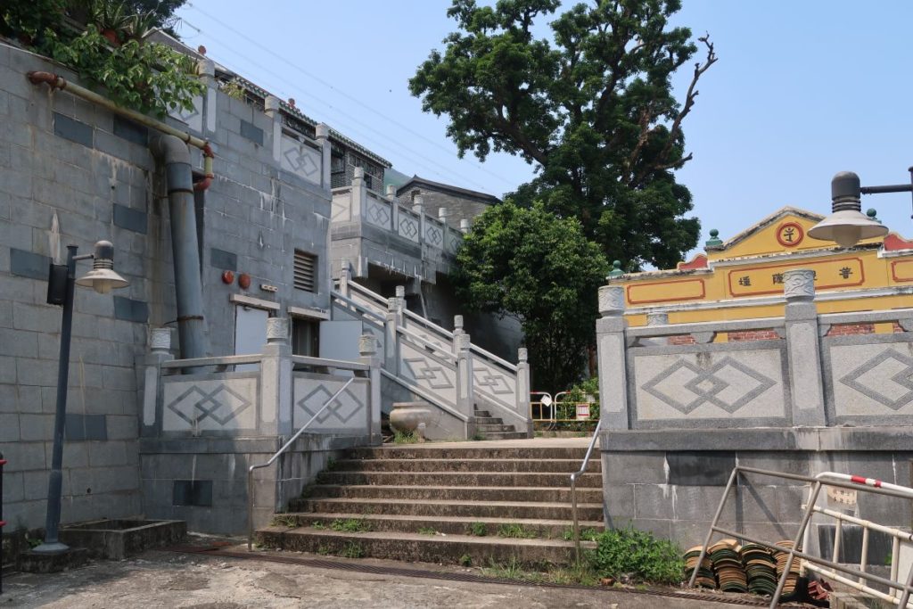
Shortly after, the path will come to an end and you will see stairs to your left (or in front of you depending on which path you took) with a yellow handrail. Go up these.
After 30 steps or so, there will be a fork in the path with stairs leading straight and another set of stairs to your right (first photo above). You will see a warning sign that cautions hikers along this part of the trail.
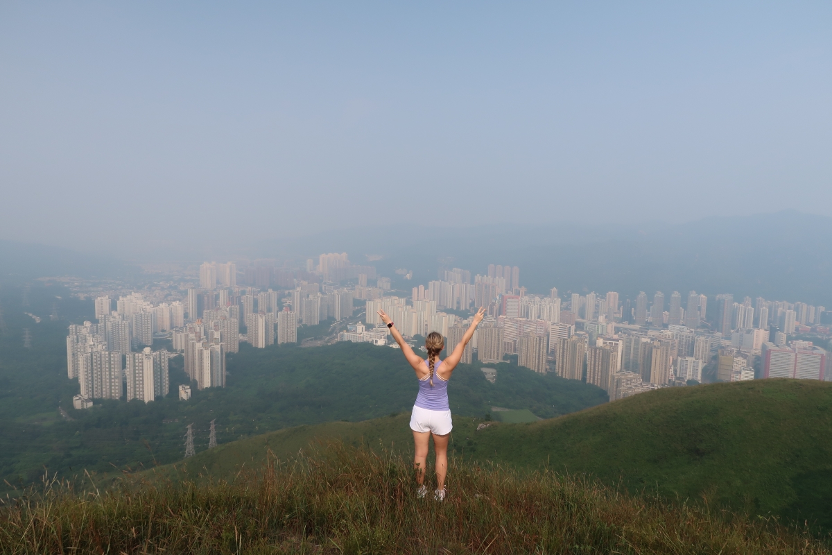
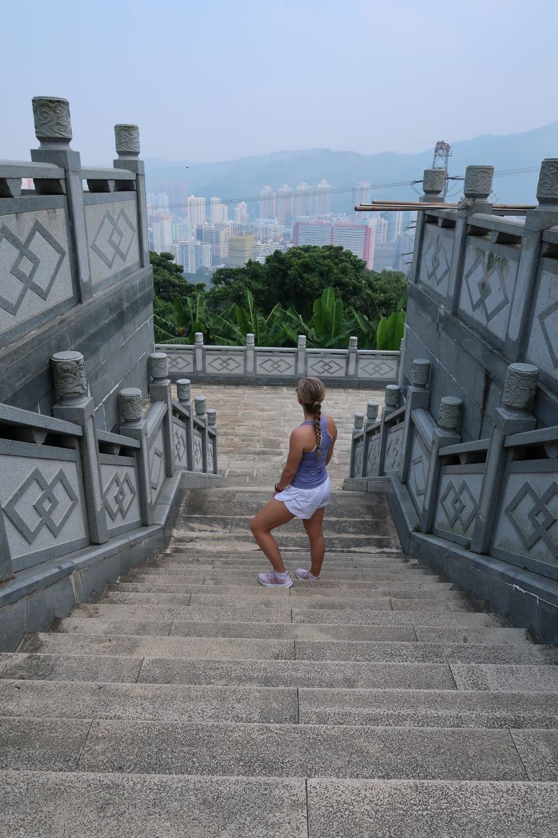
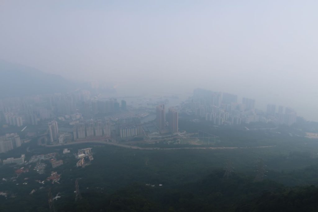
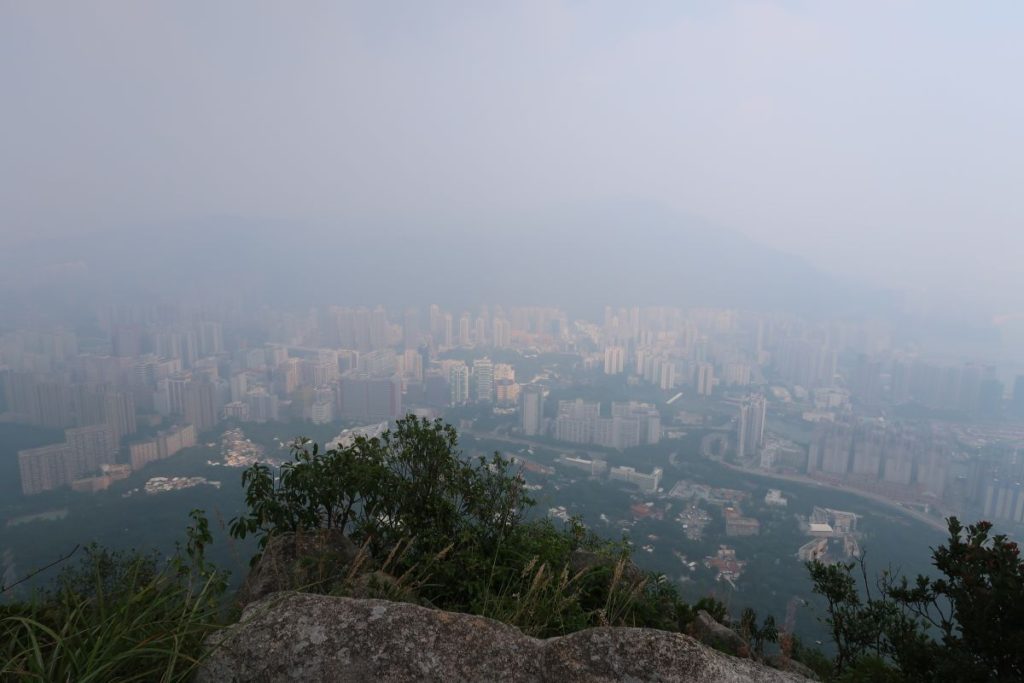
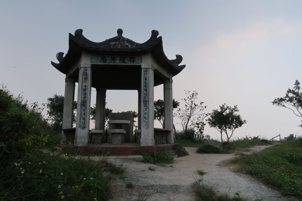
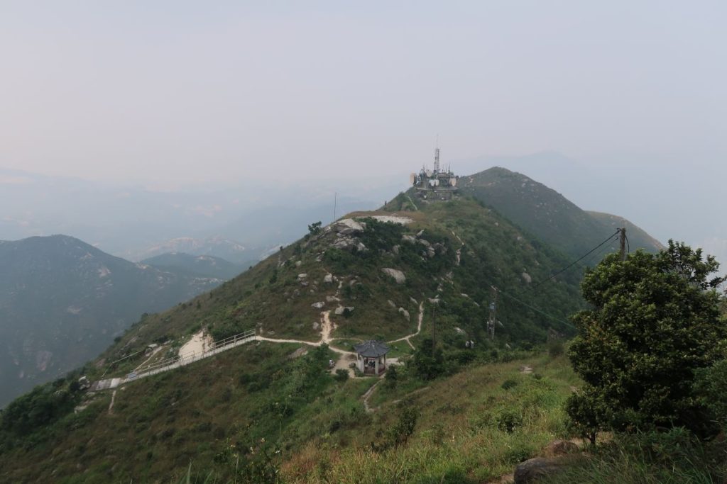
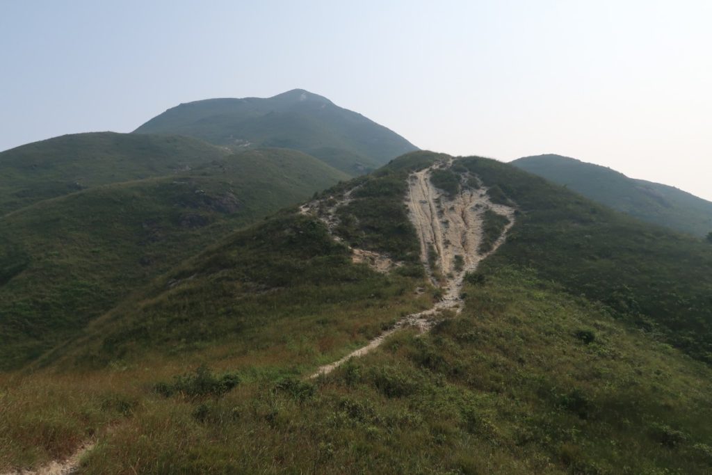
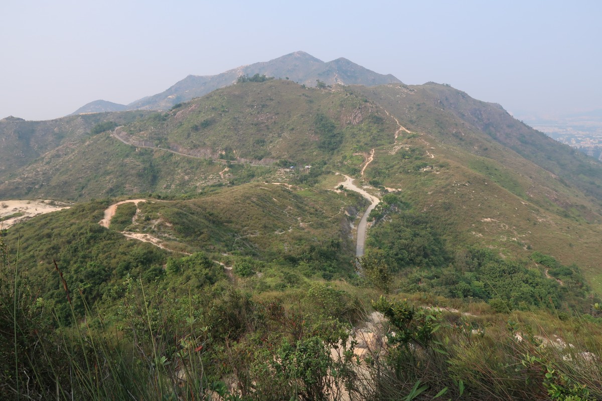
At this point, you are simply following the path up until you reach the top. As you continue to ascend, you’ll get a few beautiful glimpses of the scenery below. Once you’ve reached the top, you’ll see a gazebo right in front of you (fourth photo above), Castle Peak Transmitting Station on your right, and an abandoned radio transmitting station on your left (fifth photo above, taken from the Castle Peak Transmitting Station).
Getting Down: Castle Peak to Leung Tin Au
WARNING: Getting down from Castle Peak this way was incredibly dangerous and difficult. I would not recommend hiking down this route as there is lots of loose gravel/pebbles/rocks that we kept sliding on as we tried to make our way down. I reckon many people have been hurt trying to get down this way. To save yourself time, anxiety, and potentially getting hurt, you should probably just go down the way you came up.
That being said, we followed the path to the right of the gazebo, past the radio transmitting station. From here, there are a few different paths that branch out every so often, but try to stick to the main path on top of the mountains. I would definitely recommend following the trail on Google Maps to make sure you’re going the right way (we had to back-track once or twice).
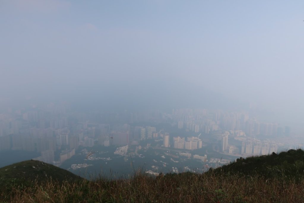
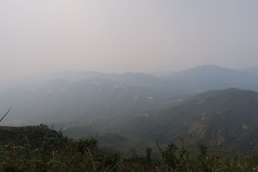
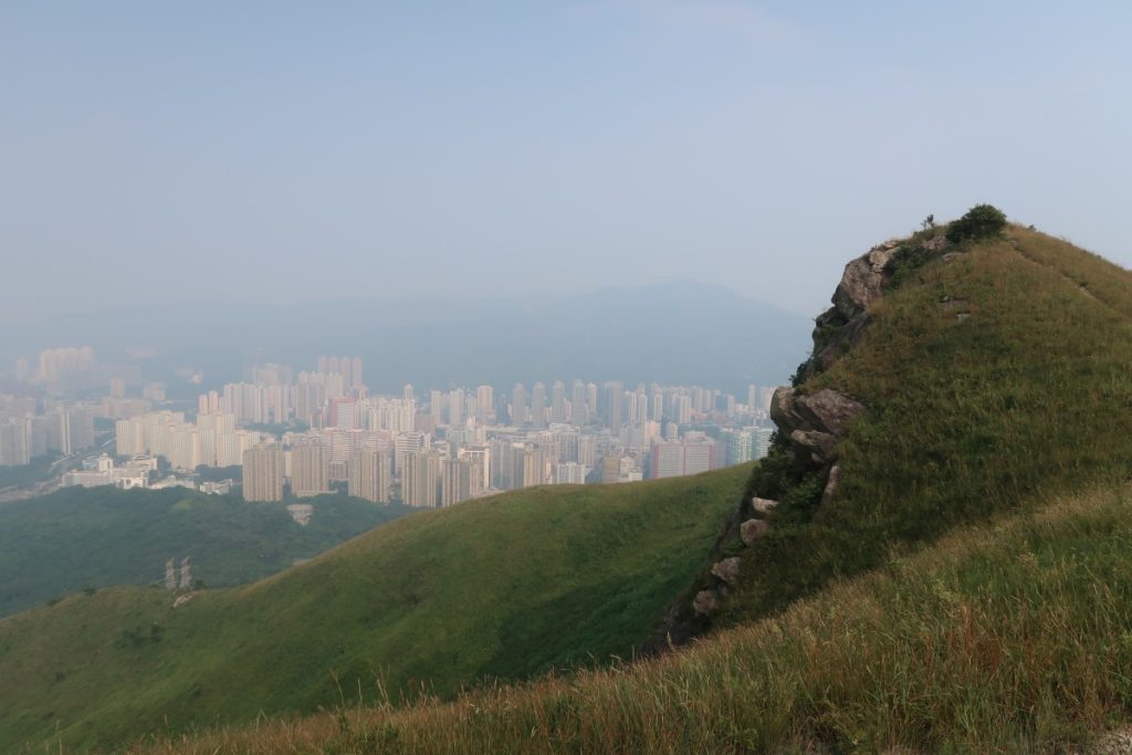
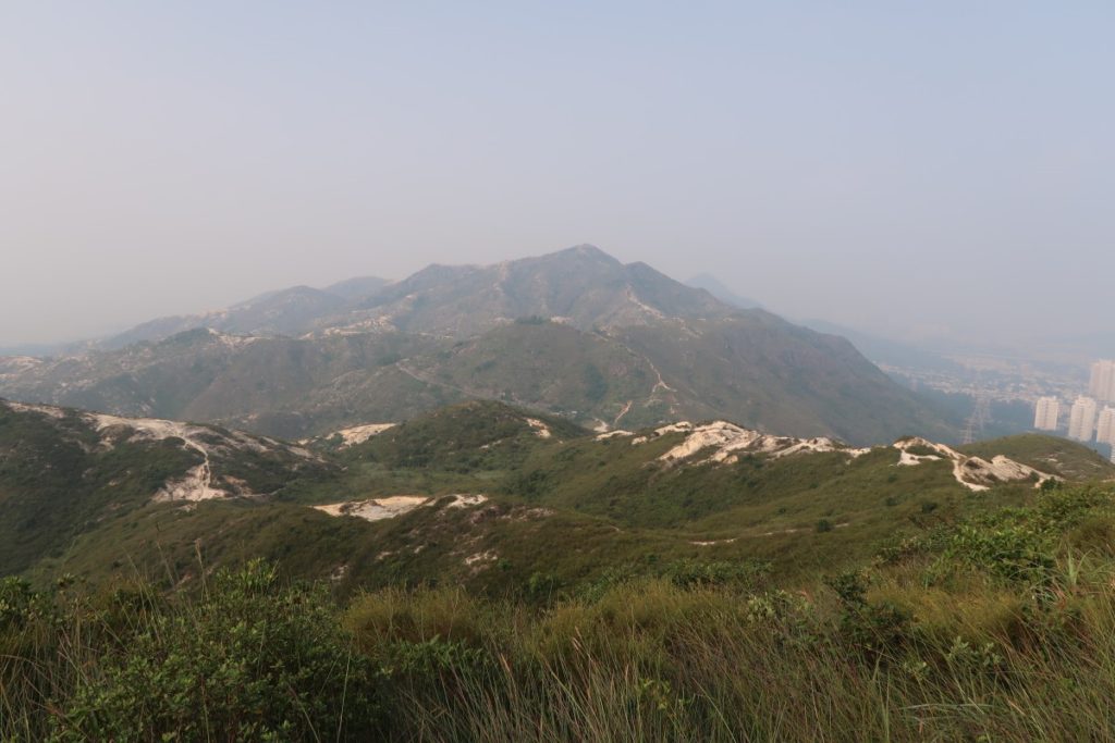
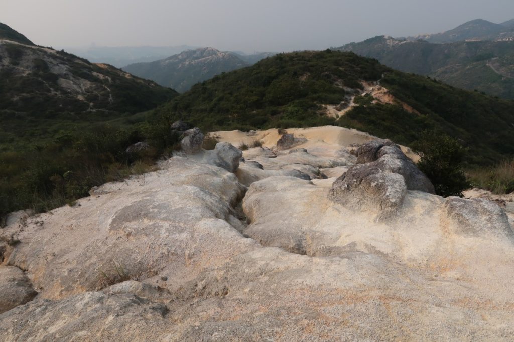
The views of the surrounding rolling hills and Tuen Mun below as you walk along the ridgeback is truly beautiful. BUT, as I said before, getting down was a serious struggle and quite scary at times. We had to make our way much slower than usual because of the terrain: the hills going down were steep and laden with loose gravel and stone (third and sixth photo above) that we kept sliding on. I slid a few times and my friend ended up falling at one point, so please be careful if you choose to go down this way.
Ending Point of Castle Peak Hike, Hong Kong
After what felt like forever trying to get down from Castle Peak, we finally saw the finish line below. Once you spot the paved road (see photo above), you’ll know you’ve almost made it. When you get down to the paved road (the area is called Leung Tin Au), you’ll see plenty of other people walking around that area – I assume there’s another trail there?
Follow the paved road down (not up!) until you reach the main road with residential buildings. Turn right and continue walking along the road until you reach the San Wai light rail station on your right. Cross the tracks and take the light rail back to Tuen Mun MTR station.
Journey Length: about 7.5km
Total Time: around 3.5 hours (it took much longer to get down; because of the loose gravel trail we had to go slow)