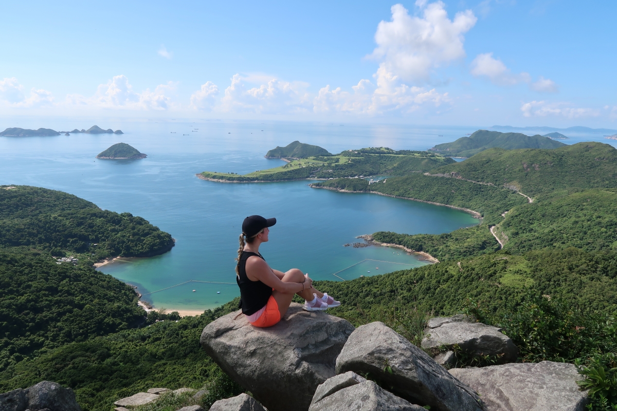
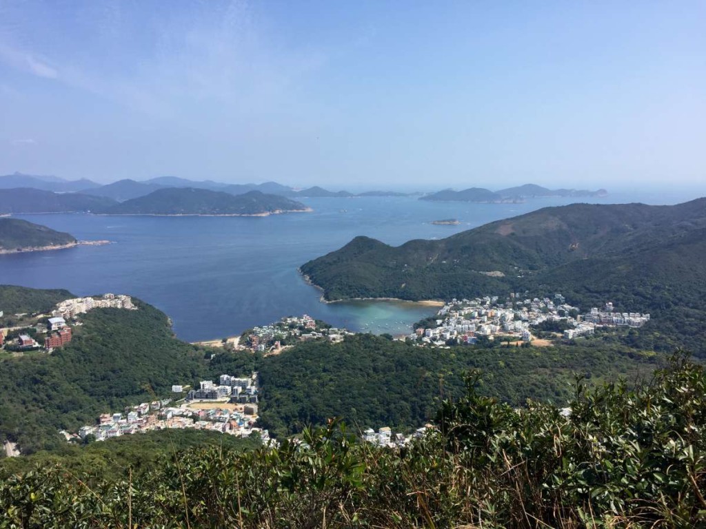
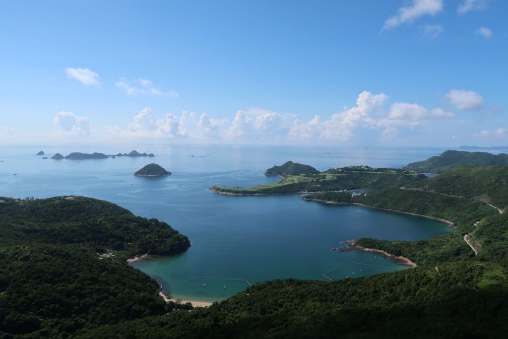
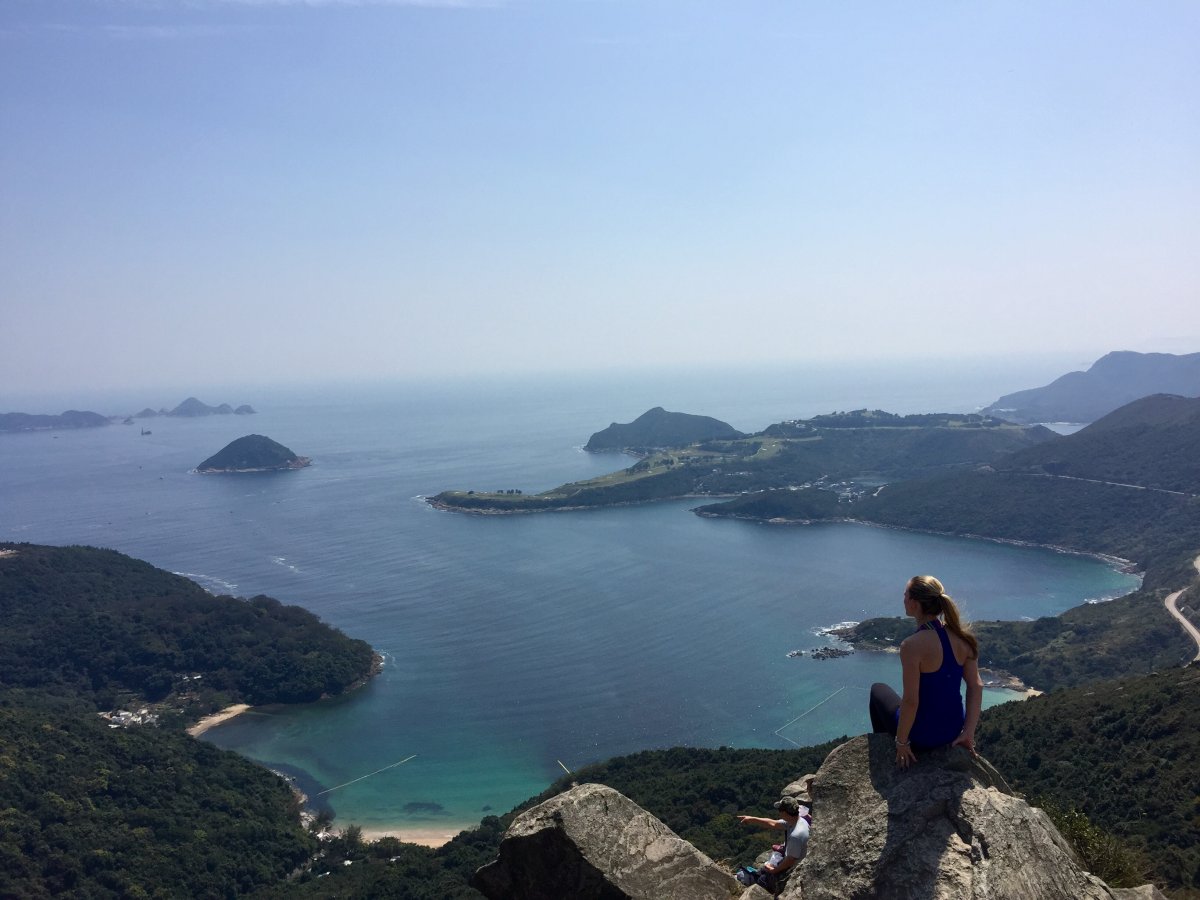
High Junk Peak Hike is a relatively quick hike with beautiful views over Clear Water Bay. Making your way from Hang Hau to Po Toi O/Clearwater Bay Golf and Country Club, expect a few hills, more than a few stairs, and plenty of rewarding sights. Outlined below is the (super easy) route along High Junk Peak Country Trail that should take roughly 2 – 3 hours, depending on your fitness level and where you want to end the hike.
Getting to the starting point:
Hop on the MTR to Hang Hau Station on the purple line. Take Exit B1 towards the bus terminus and the Tseung Kwan O Hospital. Once at the terminus, hop on Green Minibus 103 to Ng Fai Tin stop (you’ll likely have to let the driver know, but he’ll know exactly where to drop you off once he sees you in your hiking gear).
Starting Point:
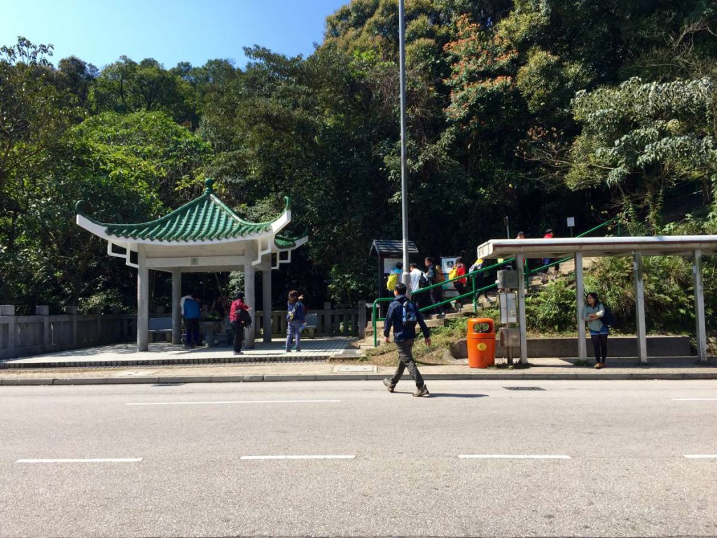
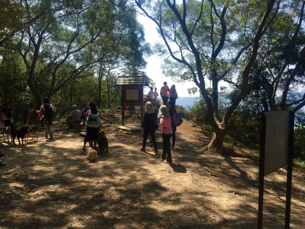
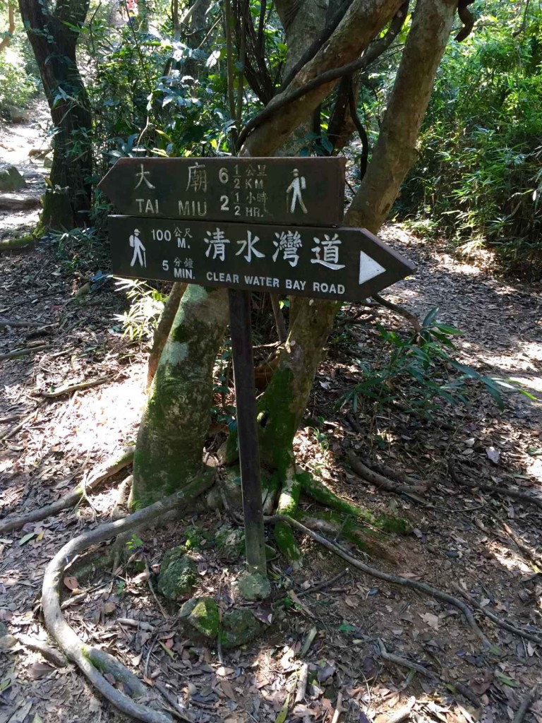 Once off the bus, cross the road and head up the stairs to the right of the pavilion. Soon after you’ll hit a fork in the path with Clear Water Bay Road on your right and Tai Miu on your left; go left.
Note: Stick to the Tai Miu path whenever you come across a fork in the trail. You will eventually get to a large fork in the path with the Tai Miu path leaning to the right and another path just to the left. I can’t remember the name of the path on your left, but there was a wooden rail in front of it – take this path. It’s not easier, but you’ll have much better views.
Sheung Sze Wan/Lohas Park:
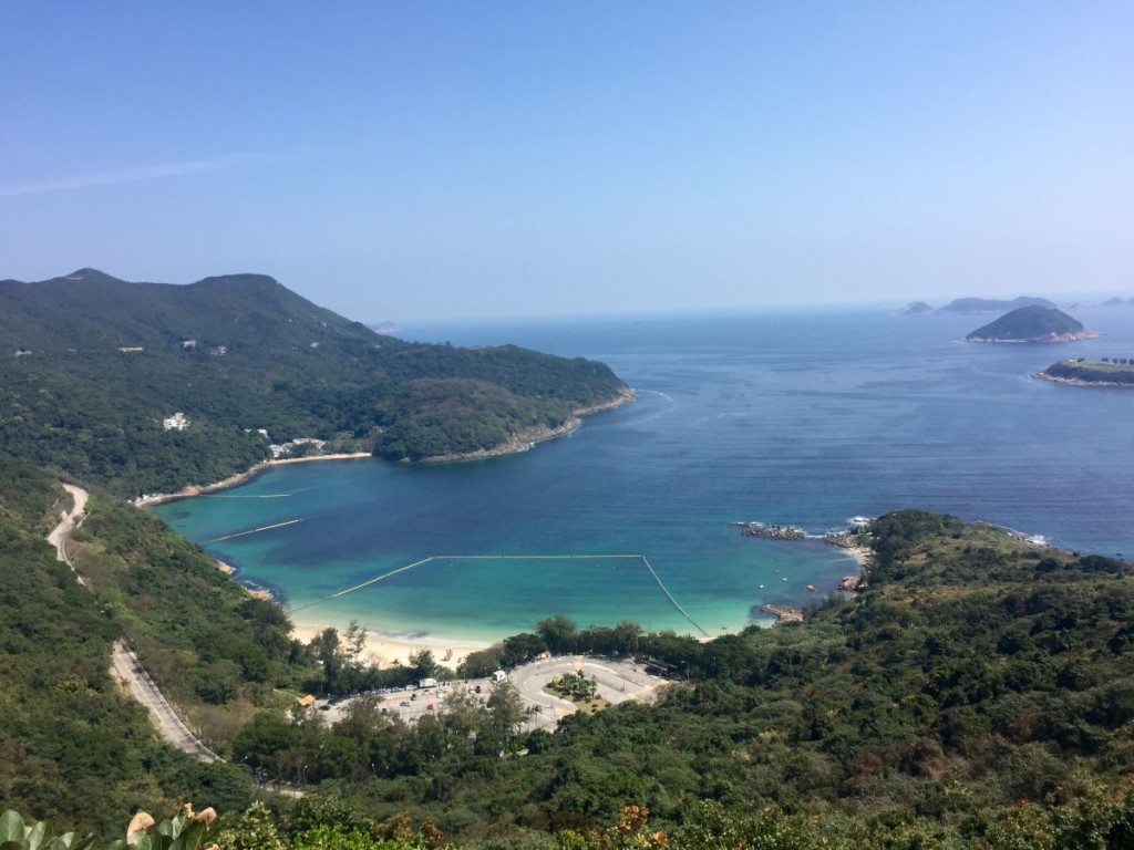
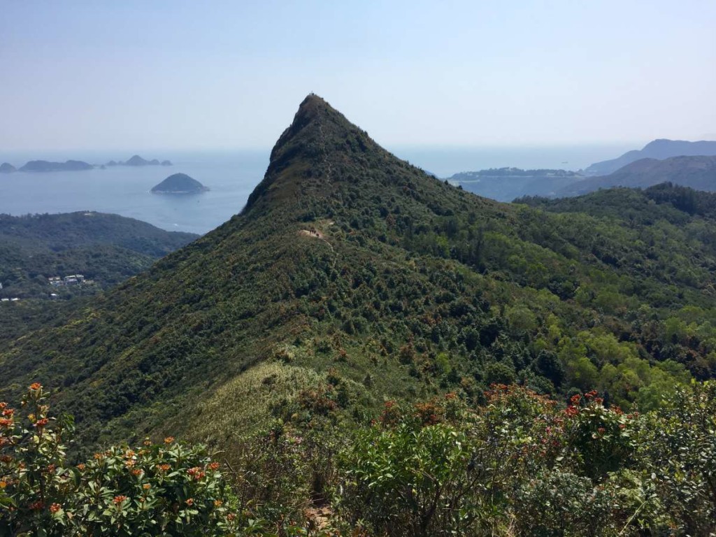 Once you’ve reached the top of the first mountain (again, just follow the trail and you won’t get lost), you’ll have beautiful views of Lohas Park on one side of you and Sheung Sze Wan on the other. As you continue along the High Junk Peak Country Trail, you’ll be able to see the top of the Peak ahead of you.
High Junk Peak:
Follow the ridge back along High Junk Peak Country Trail and after a 20 or so minute climb up, you’ll find yourself at the summit of High Junk Peak. The way down from High Junk Peak is just on your right of the photo above. Though not long, it’s quite a steep trek down with misshapen rocks for stairs. Once you get to the bottom, you’ll find yourself in a bit of an open area (see photo above). At this point, you can choose to finish your hike or continue on to Po Toi O. If you’ve had enough, it’s about a 20 minute walk to the bus station – take bus 91 to go back. If you’d like to continue hiking, follow the trail down (continue on the Tai Miu path) towards Tin Ha Shan, which will take you to Po Toi O/Clearwater Bay Golf and Country Club.
Tin Ha Shan:
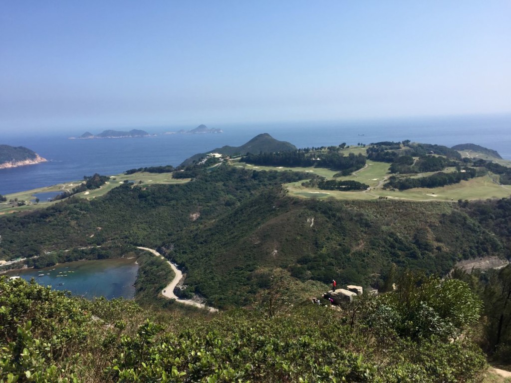
As you continue along the trail, you’ll pass Tin Ha Shan and will be able to see the Golf and Country Club in the distance. At this point, the hike down to the club is relatively easy, however, you’ll be climbing down large awkward rocks. Once you emerge from the trail, you’ll see the country club on your right. Head left down the road until you get to Po Toi O Chuen Road where you will make a right.
Po Toi O:


Continue down Po Toi O Chuen Road – you’ll be able to see the Po Toi O fishing village on your left – until you reach the entrance of the village. There is a minibus stop (#16) right in front of the entrance that will take you to back to Hang Hau station (it’s likely that you may have to wait for one or two buses, as it can be quite busy on the weekend). If you have a bit more time on your hands, head into the village and relax while having a bite to eat at the large seafood restaurant along the water.
Journey Length: About 7 km
Journey Time: About 2 – 3 hours (the latter if you end in Po Toi O)
 .
.
.
@carver_hk
#h
.
.
.
@carver_hk
#h


 G I V E A W A Y


 We did a lottttt:
- Black Island
- Co

 .. especially when you can s


