
Ready to tackle the three buffalos of Ma On Shan Country Park? For a relatively quick and easy hike with great views, Buffalo Hill hike is the perfect choice. This trail loops through the middle of Ma On Shan and takes you along Buffalo Pass, Buffalo Hill, and West Buffalo Hill. Once at the top, you’ll be rewarded with stunning views of Sha Tin and the surrounding mountains that promise to make the climb up completely worth it.
Starting Point of Buffalo Hill Hike: Shek Mun MTR to Wong Tai Nau Bus Terminus
Head to Shek Mun MTR Station and go out Exit B. Cross On Ming Street in front of you and continue down On Muk Street until you reach the underpass. Alternately: if you’re a bit pressed for time and/or want to avoid a relatively boring 20 minute walk to the start of the hike, take a taxi to the Wong Tai Nau Bus Terminus.
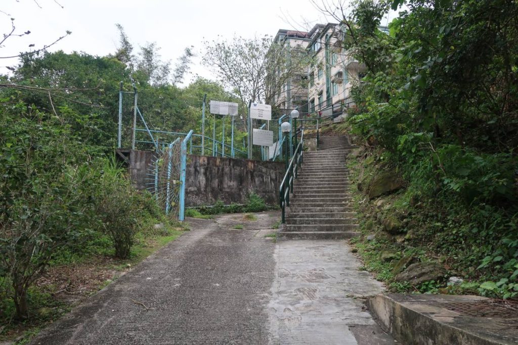
Once you’re out from the underpass, continue walking up Siu Lek Yuen Road. Eventually, you’ll see the Wong Tai Nau Bus Terminus on your left. Cross the street and shortly after the terminus you’ll see a set of stairs leading up. This is where the hike starts.
*This is pretty much the same starting point as my previous guide on Suicide Cliff Hike.
Wong Tai Nau Bus Terminus to Mui Tsz Lam
Note: while on this hike, we ended up missing a path on our right (we kept going to our left) at the start, which led to a much easier first half of the hike than anticipated. Below I’ll tell you the way we went, but if you want to skip this first bit and head straight up the mountain, then be sure to veer right at the first fork in the path instead of going left like we did.
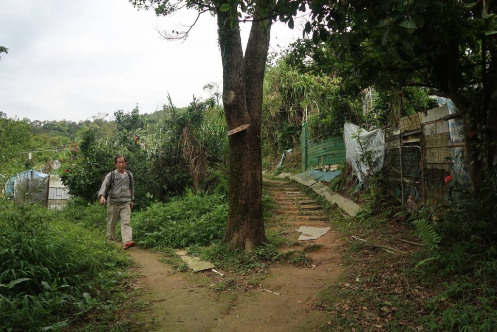
To begin the hike, simply follow the path along the little houses after the bus terminal. After about 5-10 minutes, you’ll come out onto a road that goes left or right. Go left (or go right if you want to skip the less intense part and head right up the mountain). The path is paved and will take you alongside some small houses and a pagoda before eventually turning into a more dirt-laden path.
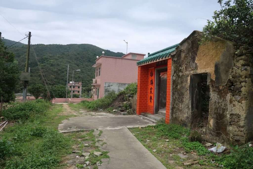
The path through this area is very straight forward (just stay on the main path) and has minimal inclines. This trail is easy and was more of a walk than a hike. Eventually, you’ll come out into this tiny semi-abandoned village called Mui Tsz Lam. There are only a handful of houses and not much to see here.
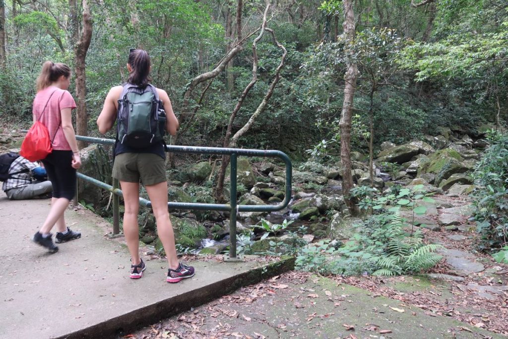
Once out of the village, continue along the main path. Eventually you’ll get to a little bridge over a stream that goes left (see last photo above). Don’t go that way. Instead, you’ll see a little stone path directly to the right of the bridge. Follow that path. When we went, there were quite a few trees that had fallen down (presumably still from the monsoon that hit last year) and blocked the path, so we had to climb over and under them.
Buffalo Pass & Buffalo Hill

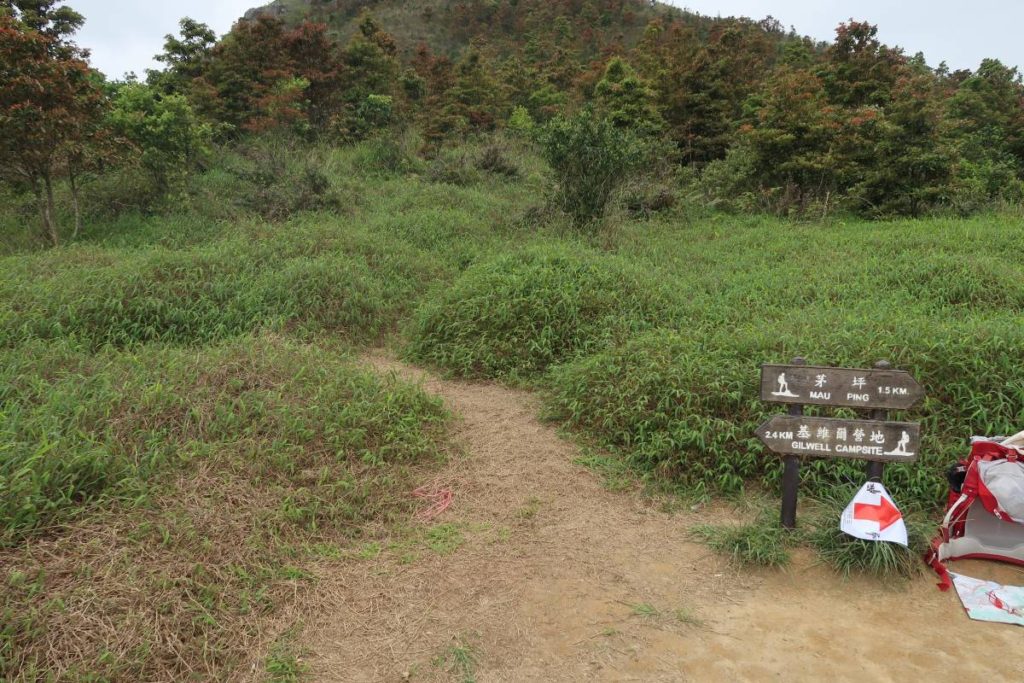

Eventually you’ll make it out from the ‘off the beaten track’ in the forest and into a clearing where you’ll likely see other hikers. Turn right and go about 100 or so steps until you see a tiny sign pointing in both directions (see first photo in collage above). This is where you’re going to go off the main path again and take the small path directly behind the sign. This is the path that leads up to Buffalo Hill.
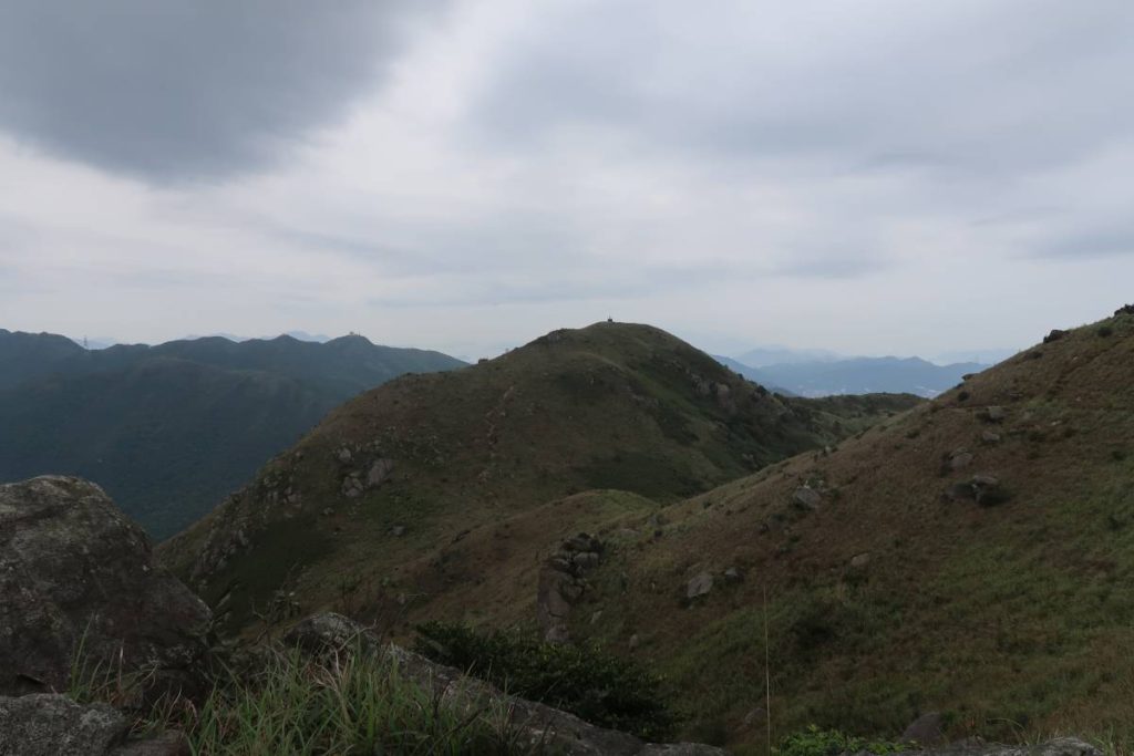
Continue to follow this path up the mountain – you’ll have to climb up and over some large rocks once you get close to the top. When we went, it was insanely windy at the top and I absolutely froze, so be sure to bring a long sleeve (unless you’re going in the dead of summer).
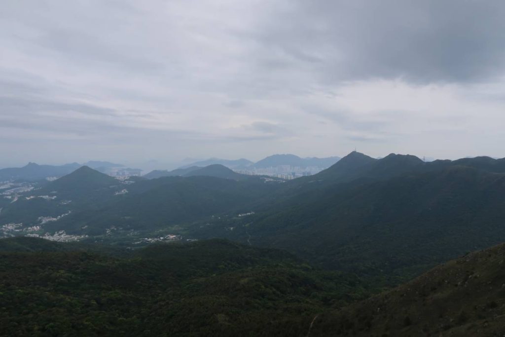
Once at the top, you’ll be treated to stunning views of the surrounding mountains and Sha Tin below. At this point, simply follow the mountain ridge around (you’ll be walking in the direction of Sha Tin) past Buffalo Pass and Buffalo Hill. Continue along the path, leading down the mountain.
Ending Point of Buffalo Hill Hike
The path will essentially take you to the starting point of the hike – this route is just one big loop along the mountain. The path takes you down the mountain and then eventually you will come out onto a large paved path. Turn right and continue going down. You’ll likely recognise this area from the start of your hike when you originally turned left at the first fork. Once you get to the Wong Tai Nau Bus Terminal, hop on a mini bus that will take you to the MTR station (we took one to Sha Tin MTR).
Journey Length: about 8.5km
Total Time: about 3 hours